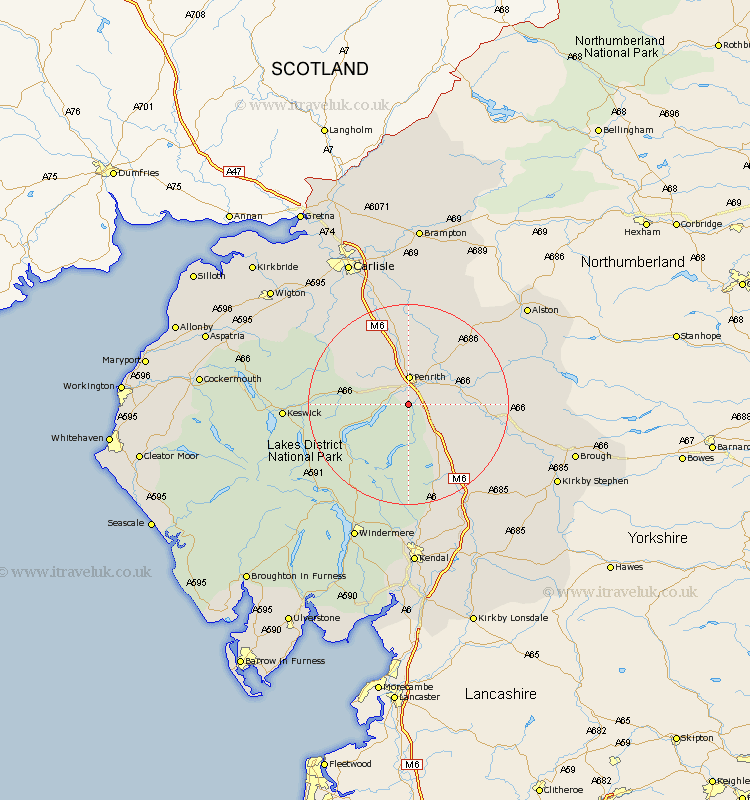
Cumbria Map Showing Location of Tirril
Population: 397
District: Eden
Easting: 350496 Northing: 524899
Latitude: 54.62 Longitude: -2.77
 = Tirril
District: Eden
Easting: 350496 Northing: 524899
Latitude: 54.62 Longitude: -2.77
= Tirril
This Tirril map below is supplied by Google. Use the tools in the top left corner to zoom into street level or zoom out for a road map, you may also need to zoom in to see Tirril on the map. Click and drag the map to move around. If the map fails to load try and refresh your browser or zoom in or out (+ or -).
Update - it seems Google no longer allow people to use their maps for free! This Tirril map sometimes loads and sometimes gives a error. I am working on a solution.
Closest 30 Towns or Cities to Tirril (Population over 500)
Dacre 4.29km Greystoke 7.43km Langwathby 9.81km Skelton 11.28km Culgaith 11.35km Shap 12.85km Lazonby 13.66km Lasonby 13.66km Kirkby Thore 13.95km Long Marston 16.21km Long Marton 16.21km Crosby Ravensworth 16.23km Kirkoswald 17.22km Appleby 19.08km Ainstable 20.49km Hesket Newmarket 20.65km Orton 21.09km Caldbeck 22.36km Koswick 22.62km Keswick 22.62km Tebay 25.19km Ambleside 25.71km Dalston 27.81km Wetheral 27.98km Staveley 27.99km Windermere 29.44km Westward 29.97km Thursby 30.18km Carlisle 31.52km Hayton 31.52km