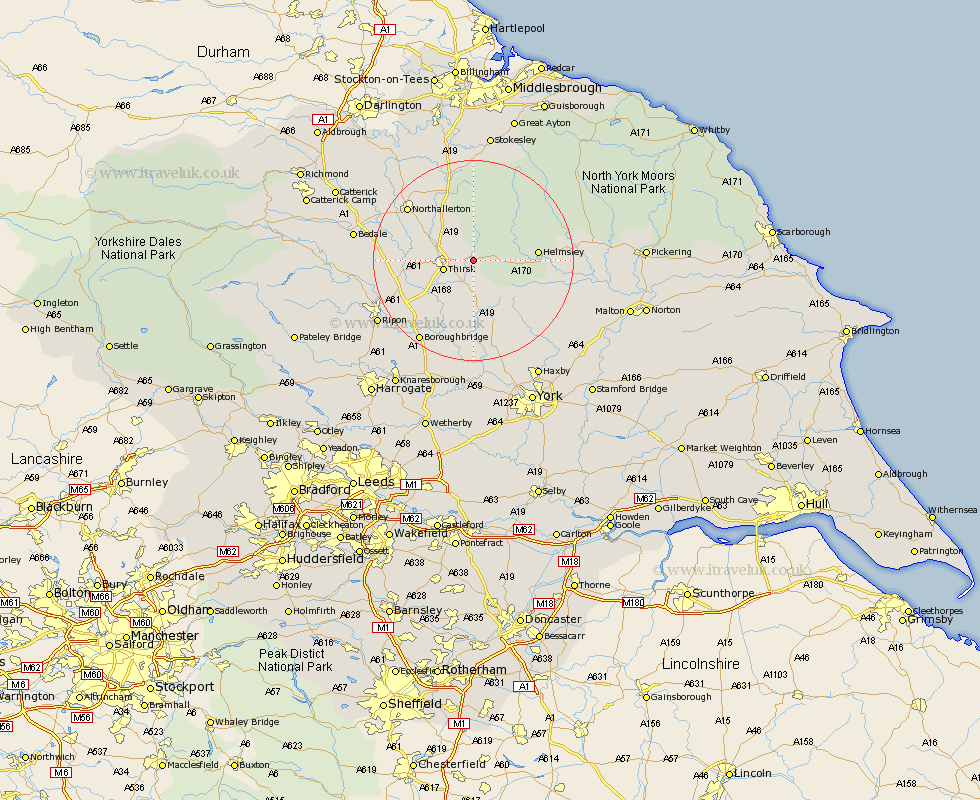
Yorkshire Map Showing Location of Sutton
Population: 59
District: Hambleton
Easting: 448881 Northing: 482232
Latitude: 54.23 Longitude: -1.25
 = Sutton
District: Hambleton
Easting: 448881 Northing: 482232
Latitude: 54.23 Longitude: -1.25
= Sutton
This Sutton map below is supplied by Google. Use the tools in the top left corner to zoom into street level or zoom out for a road map, you may also need to zoom in to see Sutton on the map. Click and drag the map to move around. If the map fails to load try and refresh your browser or zoom in or out (+ or -).
Update - it seems Google no longer allow people to use their maps for free! This Sutton map sometimes loads and sometimes gives a error. I am working on a solution.
Closest 30 Towns or Cities to Sutton (Population over 500)
Thirsk 5.72km Ampleforth 9.43km Topcliffe 10.3km Raskelf 11.12km Helmsley 12.06km Easingwold 13.37km Dishforth 14.26km Osmotherley 15.18km Northallerton 16.29km Alne 16.71km Brompton 16.89km Stillington 17.18km Nawton 17.33km Huby 18.33km Tollerton 18.65km Boroughbridge 19.33km Marton 20.02km Marton le Moor 20.02km Whorlton 20.39km Great Ouseburn 20.84km Ouseburn 20.84km Kirby Moorside 20.9km Kirkby Moorside 20.9km Tanfield 20.92km West Tanfield 20.92km Ripon 21.66km Linton 22.24km Linton upon Ouse 22.24km Linton-on-Ouse 22.24km Linton on Ouse 22.24km