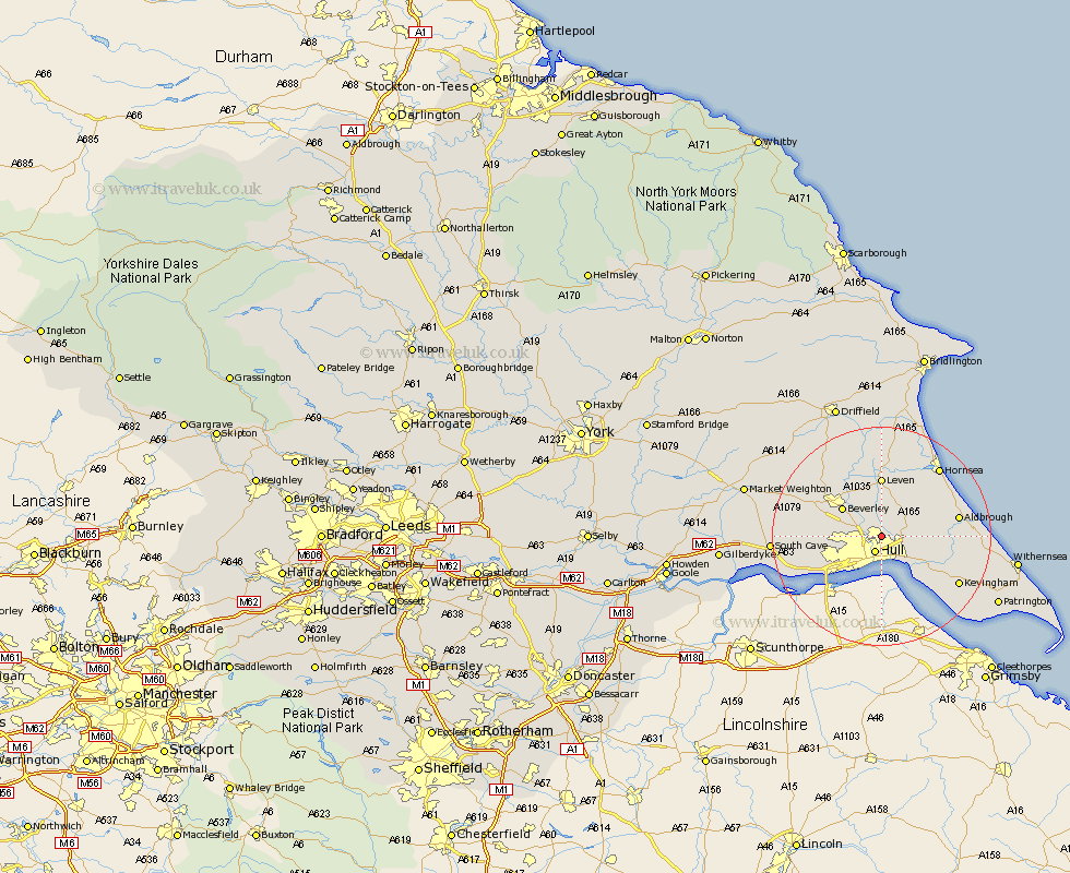
Yorkshire Map Showing Location of Sutton
Population: 977
Easting: 510898 Northing: 433224
Latitude: 53.78 Longitude: -0.32
 = Sutton
Easting: 510898 Northing: 433224
Latitude: 53.78 Longitude: -0.32
= Sutton
This Sutton map below is supplied by Google. Use the tools in the top left corner to zoom into street level or zoom out for a road map, you may also need to zoom in to see Sutton on the map. Click and drag the map to move around. If the map fails to load try and refresh your browser or zoom in or out (+ or -).
Update - it seems Google no longer allow people to use their maps for free! This Sutton map sometimes loads and sometimes gives a error. I am working on a solution.
Closest 30 Towns or Cities to Sutton (Population over 500)
Wawne 2.87km Hull 3.15km Cottingham 4.38km Woodmansey 5.74km Skirlaugh Station 5.74km Kingston upon Hull 7.49km Preston 7.89km Beverley 8.6km Sproatley 8.76km Willerby 8.95km Paull 9.21km Anlaby 9.47km Kirk Ella 9.51km Skidby 9.85km Tickton 10.25km Hedon 10.38km Hessle 10.66km Leven 11.12km Swanland 12.29km Thorngumbold 12.33km Thorngumbald 12.33km Leckonfield 12.75km Leconfield 12.75km Bishop Burton 13.26km Burstwick 13.27km Barton upon Humber 13.51km Barton 13.51km Aldbrough 13.65km Ferriby 14.15km North Ferriby 14.15km