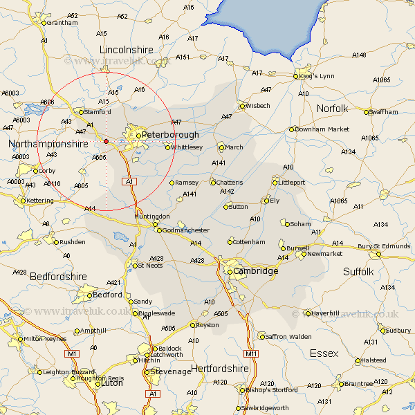
Cambridgeshire Map Showing Location of Sutton
Population: 120
Easting: 509563 Northing: 297808
Latitude: 52.57 Longitude: -0.38
 = Sutton
Easting: 509563 Northing: 297808
Latitude: 52.57 Longitude: -0.38
= Sutton
This Sutton map below is supplied by Google. Use the tools in the top left corner to zoom into street level or zoom out for a road map, you may also need to zoom in to see Sutton on the map. Click and drag the map to move around. If the map fails to load try and refresh your browser or zoom in or out (+ or -).
Update - it seems Google no longer allow people to use their maps for free! This Sutton map sometimes loads and sometimes gives a error. I am working on a solution.
Closest 30 Towns or Cities to Sutton (Population over 500)
Castor 3.38km Elton 3.71km Barnack 5.67km Wittering 5.83km Orton Waterville 5.93km Helpston 6.51km Helpstone 6.51km Peterborough 9.2km Petersborough 9.2km Peterbrough 9.2km Glinton 10.02km Farcet 10.8km Folksworth 10.85km Northborough 11.46km Stilton 11.48km Yaxley 11.68km Newborough 12.56km Eye 14.01km Holme 15.05km Sawtry 16.8km Whittlesey 17km Thorney 19.93km Ramsey 22.23km Alconbury 23.6km Bury 25.42km Spaldwick 26.17km Wistow 26.68km Warboys 28.35km Ellington 28.61km Huntingdon 29.28km