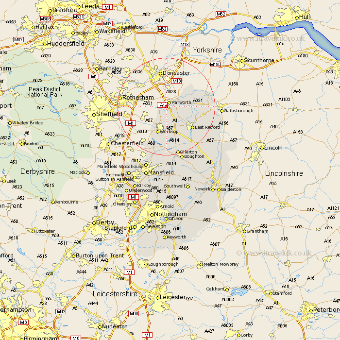
Nottinghamshire Map Showing Location of Styrrup
Population: 651
District: Bassetlaw
Easting: 460941 Northing: 389662
Latitude: 53.4 Longitude: -1.08
 = Styrrup
District: Bassetlaw
Easting: 460941 Northing: 389662
Latitude: 53.4 Longitude: -1.08
= Styrrup
This Styrrup map below is supplied by Google. Use the tools in the top left corner to zoom into street level or zoom out for a road map, you may also need to zoom in to see Styrrup on the map. Click and drag the map to move around. If the map fails to load try and refresh your browser or zoom in or out (+ or -).
Update - it seems Google no longer allow people to use their maps for free! This Styrrup map sometimes loads and sometimes gives a error. I am working on a solution.
Closest 30 Towns or Cities to Styrrup (Population over 500)
Harworth 2.16km Bircotes 2.89km Blyth 3.86km Ramskill 5.77km Ranskill 5.77km Mattersey 7.73km Sutton 8.66km Everton 8.84km Misson 9.52km Shireoaks 10.79km Worksop 11.6km Gringley 12.15km Gringley on the Hill 12.15km Gringley-on-the-Hill 12.15km Clarborough 13.37km Hayton 13.37km East Retford 13.6km Misterton 16.43km Grove 16.48km Beckingham 16.57km Walkeringham 16.67km Elkesley 16.73km Elksley 16.73km Walesby 19.69km North Leverton 19.97km Ollerton 20.86km East Markham 21.32km Markham 21.32km Bampton 21.85km Rampton 21.85km