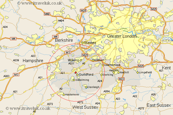
Surrey Map Showing Location of Stoughton
District: Guildford
Easting: 498895 Northing: 149245
Latitude: 51.23 Longitude: -0.58
 = Stoughton
Easting: 498895 Northing: 149245
Latitude: 51.23 Longitude: -0.58
= Stoughton
This Stoughton map below is supplied by Google. Use the tools in the top left corner to zoom into street level or zoom out for a road map, you may also need to zoom in to see Stoughton on the map. Click and drag the map to move around. If the map fails to load try and refresh your browser or zoom in or out (+ or -).
Update - it seems Google no longer allow people to use their maps for free! This Stoughton map sometimes loads and sometimes gives a error. I am working on a solution.
Closest 30 Towns or Cities to Stoughton (Population over 500)
Guildford 2.18km Guilford 2.18km Shalford 3.88km St. Martha 5km Saint Martha 5km St Martha 5km Chilworth 5km Compton 5.08km Worplesdon 5.68km Goldaming 5.68km Godalming 5.68km Bramley 6.03km Normandy 6.09km West Clandon 6.09km Pirbright 6.56km Send 6.56km Wonersh 6.56km Puttenham 6.88km Albury 7.89km Milford 8.18km Ripley 8.91km Shere 8.93km Woking 9.9km West Horsley 10km Seale 10km Horsley 10.61km East Horsley 10.61km Tongham 10.61km Elstead 11km Chobham 11.18km