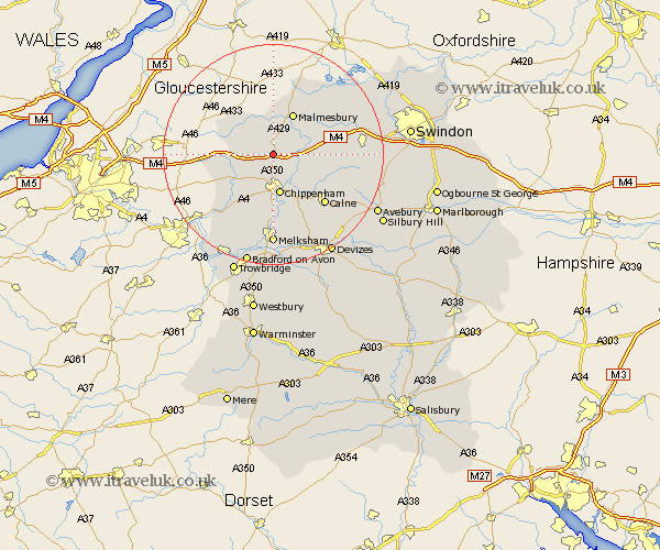
Wiltshire Map Showing Location of Stanton
Population: 693
District: North Wiltshire
Easting: 390749 Northing: 179815
Latitude: 51.52 Longitude: -2.13
 = Stanton
District: North Wiltshire
Easting: 390749 Northing: 179815
Latitude: 51.52 Longitude: -2.13
= Stanton
This Stanton map below is supplied by Google. Use the tools in the top left corner to zoom into street level or zoom out for a road map, you may also need to zoom in to see Stanton on the map. Click and drag the map to move around. If the map fails to load try and refresh your browser or zoom in or out (+ or -).
Update - it seems Google no longer allow people to use their maps for free! This Stanton map sometimes loads and sometimes gives a error. I am working on a solution.
Closest 30 Towns or Cities to Stanton (Population over 500)
Stanton Saint Quintin 0km Stanton St Quintin 0km Stanton 0km Stanton St. Quintin 0km Hullavington 2.18km Sutton Benger 3.93km Somerford 4.97km Great Somerford 4.97km Yatton Keynell 5.92km Christian Malford 6.06km Lea 7.22km Chippenham 7.51km Sherston 8.01km Malmesbury 8.17km Malmsbury 8.17km Luckington 8.88km Nettleton 9.41km Corsham 9.56km Bremhill 10.15km Brinkworth 11.02km Lyneham 11.53km Hillmarton 12.81km Hilmarton 12.81km Laycock 13.03km Lacock 13.03km Calne 13.09km Colerne 13.09km Box 13.75km Crudwell 13.76km Atworth 15.54km