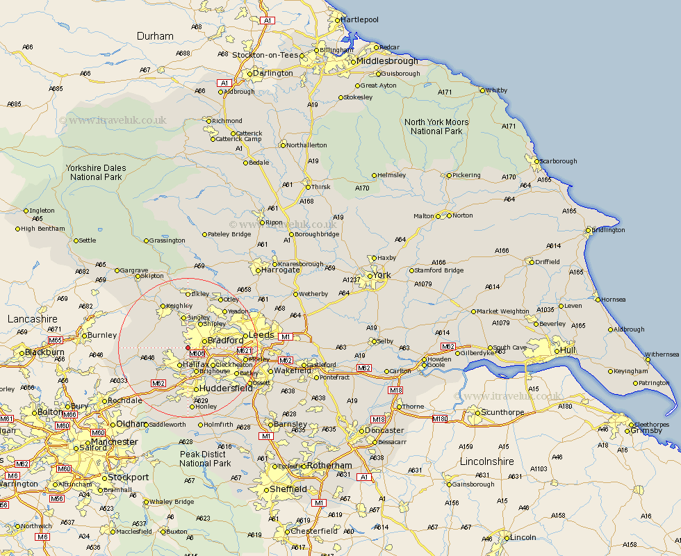
Yorkshire Map Showing Location of Gomersal
District: Bradford
Easting: 412083 Northing: 430079
Latitude: 53.77 Longitude: -1.82
 = Gomersal
Easting: 412083 Northing: 430079
Latitude: 53.77 Longitude: -1.82
= Gomersal
This Gomersal map below is supplied by Google. Use the tools in the top left corner to zoom into street level or zoom out for a road map, you may also need to zoom in to see Gomersal on the map. Click and drag the map to move around. If the map fails to load try and refresh your browser or zoom in or out (+ or -).
Update - it seems Google no longer allow people to use their maps for free! This Gomersal map sometimes loads and sometimes gives a error. I am working on a solution.
Closest 30 Towns or Cities to Gomersal (Population over 500)
Bradford 4.75km Denholme 5.78km Halifax 5.98km Wilsden 6.46km Queensbury 6.57km Brighouse 7.73km Cullingworth 7.8km Shipley 8.1km Cleckheaton 8.61km Bingley 9.33km Elland 9.34km Luddenden Foot 9.48km Oxenhope 9.51km Baildon 9.83km Pudsey 10.03km Haworth 10.37km Liversedge 10.67km Mytholmroyd 12.29km Heckmondwike 12.34km Guiseley 12.91km Huddersfield 13.16km Hebden Bridge 13.28km Heptonstall 13.28km Menston 14.07km Horsforth 14.13km Ripponden 14.16km Mirfield 14.16km Keighley 14.53km Yeadon 14.85km Drewsbury 15.1km