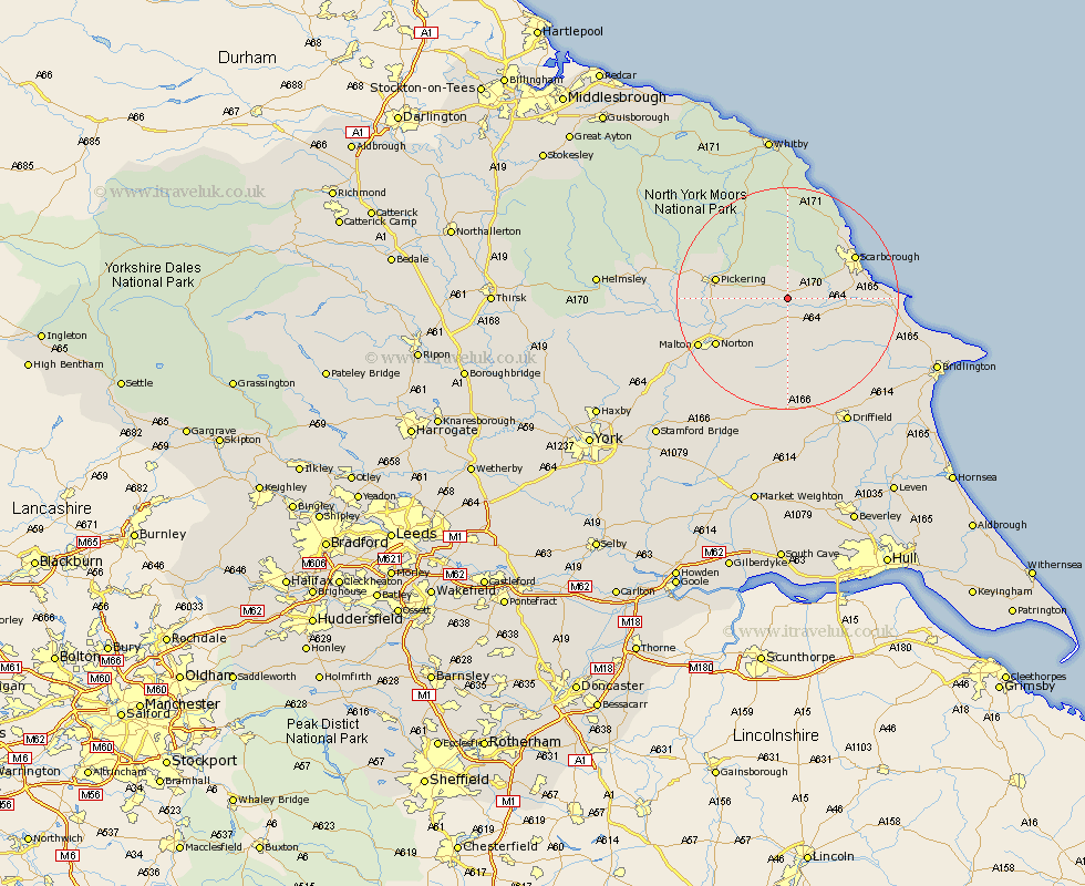
Yorkshire Map Showing Location of Snainton
Population: 891
District: Scarborough
Easting: 492367 Northing: 481052
Latitude: 54.22 Longitude: -0.58
 = Snainton
District: Scarborough
Easting: 492367 Northing: 481052
Latitude: 54.22 Longitude: -0.58
= Snainton
This Snainton map below is supplied by Google. Use the tools in the top left corner to zoom into street level or zoom out for a road map, you may also need to zoom in to see Snainton on the map. Click and drag the map to move around. If the map fails to load try and refresh your browser or zoom in or out (+ or -).
Update - it seems Google no longer allow people to use their maps for free! This Snainton map sometimes loads and sometimes gives a error. I am working on a solution.
Closest 30 Towns or Cities to Snainton (Population over 500)
Brompton 2.17km Yedingham 2.85km Sherburn 7.05km Thornton-le-Dale 8.86km Thornton Dale 8.86km Willerby 9.43km Seamer 9.92km Rillington 10.61km Eastfield 12.06km Scalby 12.24km Pickering 12.48km Scarborough 13.5km Cayton 14.2km Burniston 14.78km Norton 14.88km Cloughton 16.22km Great Driffield 16.24km Malton 17.43km Hunmanby 18.22km Filey 19.14km Fylingdales 22.47km Slingsby 22.92km Kilham 23.3km Kirkby Moorside 23.41km Kirby Moorside 23.41km Wetwang 24.12km Driffield 25.32km Nafferton 25.78km Hawsker 25.96km Nawton 26.07km