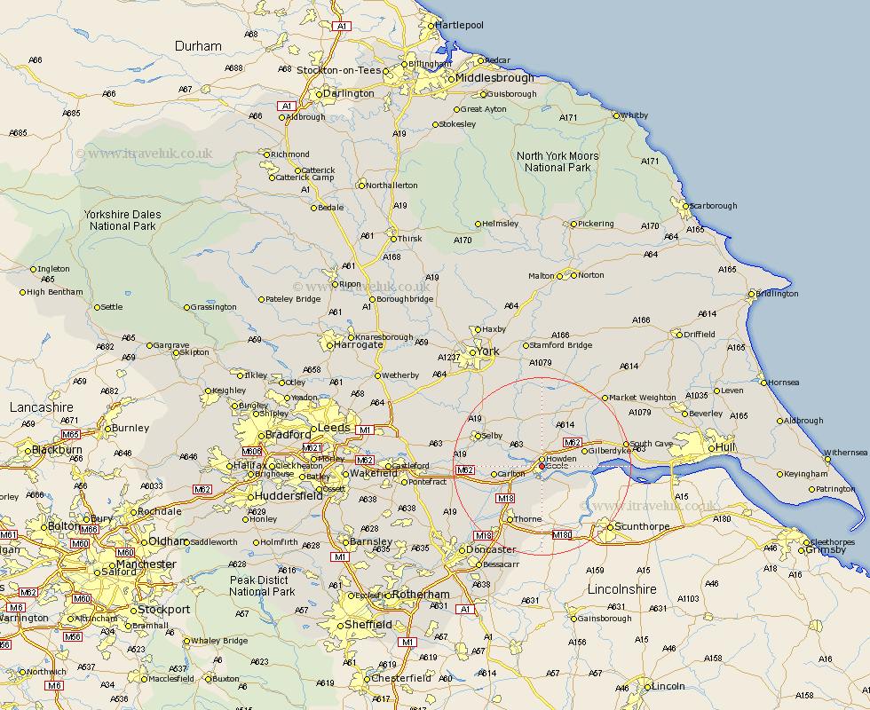
Yorkshire Map Showing Location of Goole
Population: 18956
Area Size (ha): 463
Easting: 474784 Northing: 425097
Latitude: 53.72 Longitude: -0.87
 = Goole
Area Size (ha): 463
Easting: 474784 Northing: 425097
Latitude: 53.72 Longitude: -0.87
= Goole
This Goole map below is supplied by Google. Use the tools in the top left corner to zoom into street level or zoom out for a road map, you may also need to zoom in to see Goole on the map. Click and drag the map to move around. If the map fails to load try and refresh your browser or zoom in or out (+ or -).
Update - it seems Google no longer allow people to use their maps for free! This Goole map sometimes loads and sometimes gives a error. I am working on a solution.
Closest 30 Towns or Cities to Goole (Population over 500)
Goole 0km Hook 1.1km Howden 1.85km Airmyn 2.19km Swinefleet 4.31km Eastrington 6.61km Rawcliffe 6.63km Hemingbrough 9.47km Cliff Common Station 9.47km Cliffe Common 9.47km Carlton 10.05km Barlow 10.54km Snaith 11.58km Bubwith 11.59km Pollington 14.29km Holme upon Spalding Moor 14.54km Holme 14.54km Thorne 14.55km Moorends 14.73km Selby 15.09km Seaton Ross 15.18km North Cave 15.29km Brayton 15.29km Hensall 15.47km Newport 15.79km Fishlake 16.31km Stainforth 17km Riccall 17.7km Hatfield 18.37km South Cave 18.4km