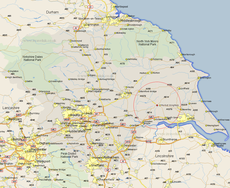
Yorkshire Map Showing Location of Shipton
Population: 419
Easting: 485475 Northing: 441971
Latitude: 53.87 Longitude: -0.7
 = Shipton
Easting: 485475 Northing: 441971
Latitude: 53.87 Longitude: -0.7
= Shipton
This Shipton map below is supplied by Google. Use the tools in the top left corner to zoom into street level or zoom out for a road map, you may also need to zoom in to see Shipton on the map. Click and drag the map to move around. If the map fails to load try and refresh your browser or zoom in or out (+ or -).
Update - it seems Google no longer allow people to use their maps for free! This Shipton map sometimes loads and sometimes gives a error. I am working on a solution.
Closest 30 Towns or Cities to Shipton (Population over 500)
Market Weighton 2.19km Holme 5.74km Holme upon Spalding Moor 5.74km Seaton Ross 7.87km Pocklington 8.1km Melbourne 10km Barmby on the Moor 10.64km Barmby-on-the-Moor 10.64km Barmby 10.64km North Cave 11.59km South Cave 12.91km Cherry Burton 13.11km Bishop Burton 13.63km Newport 13.7km Eastrington 14.08km Fangfoss 14.14km Lockington 14.68km Wilberfoss 15.17km Sutton upon Derwent 15.25km Sutton 15.25km Bubwith 15.26km Leconfield 16.39km Leckonfield 16.39km Wetwang 17.2km Welton 17.23km Wheldrake 17.58km Skidby 17.9km North Frodingham 18.03km Howden 18.43km Beverley 18.95km