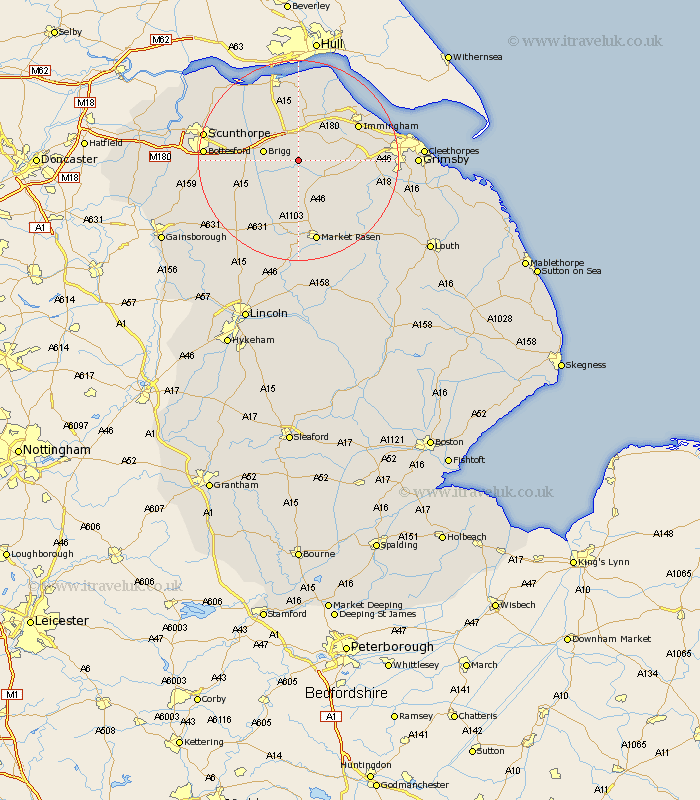
Lincolnshire Map Showing Location of Searby
Population: 182
District: West Lindsey
Easting: 507139 Northing: 405314
Latitude: 53.53 Longitude: -0.38
 = Searby
District: West Lindsey
Easting: 507139 Northing: 405314
Latitude: 53.53 Longitude: -0.38
= Searby
This Searby map below is supplied by Google. Use the tools in the top left corner to zoom into street level or zoom out for a road map, you may also need to zoom in to see Searby on the map. Click and drag the map to move around. If the map fails to load try and refresh your browser or zoom in or out (+ or -).
Update - it seems Google no longer allow people to use their maps for free! This Searby map sometimes loads and sometimes gives a error. I am working on a solution.
Closest 30 Towns or Cities to Searby (Population over 500)
Barnetby le Wold 3.87km Barnetby 3.87km North Kelsey 5.98km Wrawby 6.64km Brigg 6.86km Caistor 7.1km Nettleton 7.1km South Kelsey 8.11km Keelby 9.56km Ulceby 9.84km Scawby 9.91km South Killingholme 10.58km Hibaldstow 10.59km Habrough 11.51km Broughton 11.62km Waddingham 12.79km Immingham 13.27km Laceby 14.32km Stallingborough 14.33km Healing 14.79km Goxhill 15.2km Appleby 15.25km Kirton in Lindsey 16.13km Kirton 16.13km East Halton 16.23km Barrow upon Humber 16.68km Barrow 16.68km Barrow-on-Humber 16.68km Barrow-upon-Humber 16.68km Barrow on Humber 16.68km