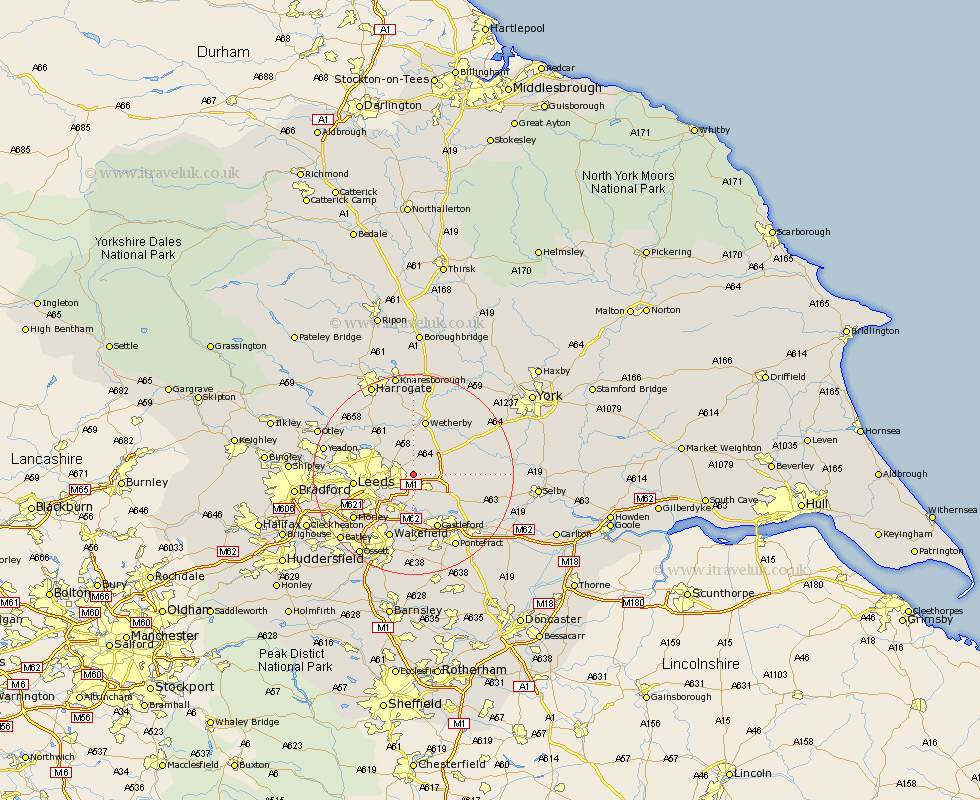
Yorkshire Map Showing Location of Scholes
Population: 2538
Area Size (ha): 57
District: Leeds
Easting: 438400 Northing: 435783
Latitude: 53.82 Longitude: -1.42
 = Scholes
Area Size (ha): 57
District: Leeds
Easting: 438400 Northing: 435783
Latitude: 53.82 Longitude: -1.42
= Scholes
This Scholes map below is supplied by Google. Use the tools in the top left corner to zoom into street level or zoom out for a road map, you may also need to zoom in to see Scholes on the map. Click and drag the map to move around. If the map fails to load try and refresh your browser or zoom in or out (+ or -).
Update - it seems Google no longer allow people to use their maps for free! This Scholes map sometimes loads and sometimes gives a error. I am working on a solution.
Closest 30 Towns or Cities to Scholes (Population over 500)
Thorner 3.7km Garforth 4.31km Aberford 5.47km Swillington 5.56km Micklefield 5.78km Scarcroft 5.97km Kippax 6.46km East Keswick 7.35km Bardsey 7.49km Bramham 8.6km Rothwell 8.61km Collingham 9.33km Boston Spa 10.24km Harewood 10.75km Lofthouse 10.77km Leeds 11.1km Sherburn in Elmet 11.1km Sherburn 11.1km Wetherby 11.33km Castleford 11.95km South Milford 12.28km Tadcaster 12.32km Thorp Arch 12.39km Thorpe Arch 12.39km Normanton 12.98km Church Fenton 13.13km Featherstone 13.39km Ulleskelf 13.64km Stanley 13.7km Wakefield 13.7km