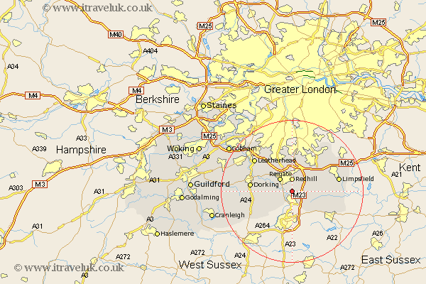
Surrey Map Showing Location of Salfords
Population: 5708
Area Size (ha): 214
District: Reigate and Banstead
Easting: 528073 Northing: 146186
Latitude: 51.2 Longitude: -0.17
 = Salfords
Area Size (ha): 214
District: Reigate and Banstead
Easting: 528073 Northing: 146186
Latitude: 51.2 Longitude: -0.17
= Salfords
This Salfords map below is supplied by Google. Use the tools in the top left corner to zoom into street level or zoom out for a road map, you may also need to zoom in to see Salfords on the map. Click and drag the map to move around. If the map fails to load try and refresh your browser or zoom in or out (+ or -).
Update - it seems Google no longer allow people to use their maps for free! This Salfords map sometimes loads and sometimes gives a error. I am working on a solution.
Closest 30 Towns or Cities to Salfords (Population over 500)
Redhill 3.7km Horley 3.7km Nutfield 3.95km Leigh 4.65km Reigate 5.08km Bletchingley 5.94km Charlwood 6.56km Betchworth 6.88km Buckland 6.88km Godstone 7.89km Horne 7.89km Burstow 8.75km Caterham 9.42km Newdigate 9.85km Tandridge 10km Tadworth 10.36km Holmwood 10.62km Oxted 11.09km Lingfield 11.09km Dorking 11.76km Mickleham 11.83km Capel 12.82km Westcott 12.91km Banstead 12.98km Woldingham 13.11km Felbridge 13.13km Limpsfield 13.3km Warlingham 13.77km Leatherhead 13.96km Whyteleafe 14.21km