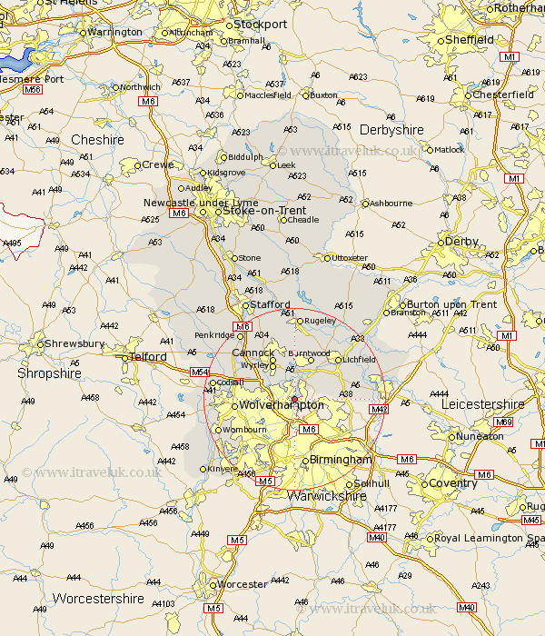
Staffordshire Map Showing Location of Rushall
Population: 5762
Area Size (ha): 122
District: Walsall
Easting: 403386 Northing: 300286
Latitude: 52.6 Longitude: -1.95
 = Rushall
Area Size (ha): 122
District: Walsall
Easting: 403386 Northing: 300286
Latitude: 52.6 Longitude: -1.95
= Rushall
This Rushall map below is supplied by Google. Use the tools in the top left corner to zoom into street level or zoom out for a road map, you may also need to zoom in to see Rushall on the map. Click and drag the map to move around. If the map fails to load try and refresh your browser or zoom in or out (+ or -).
Update - it seems Google no longer allow people to use their maps for free! This Rushall map sometimes loads and sometimes gives a error. I am working on a solution.
Closest 30 Towns or Cities to Rushall (Population over 500)
Pelsall 1.86km Aldridge 2.25km Wallsall 3.38km Walsall 3.38km Brownhills 3.87km Hammerwich 7.15km Shenstone 8.7km Bilston 8.71km Wyrley 8.93km Great Wyrley 8.93km Norton Canes 9.33km Burntwood 9.86km West Bromwich 9.86km Cannock 10.3km Hednesford 11.62km Smethwick 11.62km Shareshill 11.66km Huntington 12.46km Wolverhampton 12.52km Lichfield 12.91km Longdon 13.73km Dudley 14.32km Whittington 15.45km Armitage 15.49km Drayton Bassett 15.76km Himley 16.39km Fazeley 16.98km Codsall 17.28km Lower Penn 17.29km Brewood 17.31km