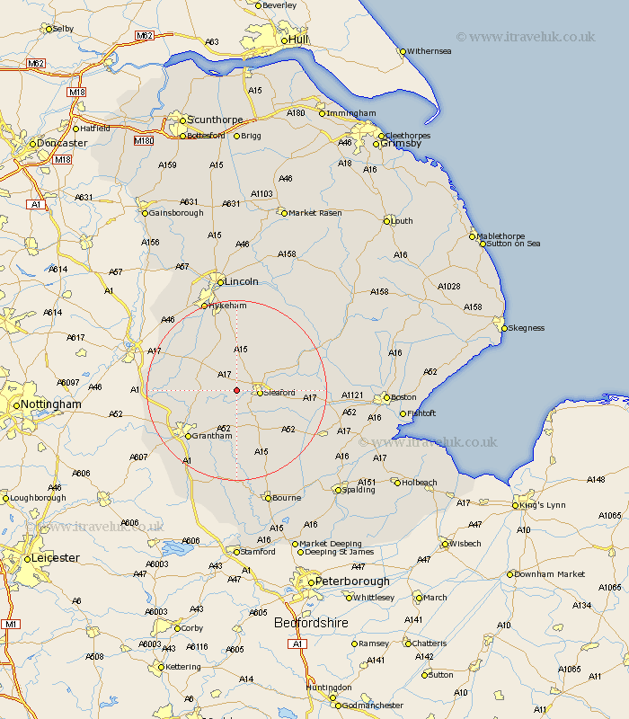
Lincolnshire Map Showing Location of Rauceby
Population: 135
District: North Kesteven
Easting: 501771 Northing: 345852
Latitude: 53 Longitude: -0.48
 = Rauceby
District: North Kesteven
Easting: 501771 Northing: 345852
Latitude: 53 Longitude: -0.48
= Rauceby
This Rauceby map below is supplied by Google. Use the tools in the top left corner to zoom into street level or zoom out for a road map, you may also need to zoom in to see Rauceby on the map. Click and drag the map to move around. If the map fails to load try and refresh your browser or zoom in or out (+ or -).
Update - it seems Google no longer allow people to use their maps for free! This Rauceby map sometimes loads and sometimes gives a error. I am working on a solution.
Closest 30 Towns or Cities to Rauceby (Population over 500)
Cranwell 3.87km Leasingham 4.83km Heasingham 4.83km Sleaford 4.96km Ancaster 4.99km Brauncewell 6.49km Ruskington 7.65km Buskington 7.65km Fulbeck 7.65km Caythorpe 8.02km Welbourn 8.65km Bloxholm 10.28km Bloxholme 10.28km Belton 10.77km Navenby 11.34km Wellingore 11.61km Digby 12.11km Scopwick 12.44km Ropsley 13.17km Heckington 13.89km Helpringham 14.34km Great Hale 14.5km Hale 14.5km Grantham 14.99km Great Gonerby 15.38km Metheringham 15.83km Folkingham 15.84km Billinghay 16.27km Martin 16.4km Bassingham 16.4km