Suffolk Map Showing Location of Preston
Population: 220
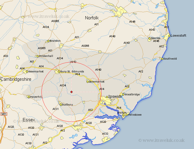
District: Babergh
Easting: 593965 Northing: 250319
Latitude: 52.12 Longitude: 0.83
 = Preston
District: Babergh
Easting: 593965 Northing: 250319
Latitude: 52.12 Longitude: 0.83
= Preston
This Preston map below is supplied by Google. Use the tools in the top left corner to zoom into street level or zoom out for a road map, you may also need to zoom in to see Preston on the map. Click and drag the map to move around. If the map fails to load try and refresh your browser or zoom in or out (+ or -).
Update - it seems Google no longer allow people to use their maps for free! This Preston map sometimes loads and sometimes gives a error. I am working on a solution.
Closest 30 Towns or Cities to Preston (Population over 500)
Lavenham 2.94km Hitcham 4.55km Cockfield 5.03km Bildeston 5.99km Waldingfield 6.53km Great Waldingfield 6.53km Lawshall 7.76km Rattlesden 8.15km Finborough 8.8km Great Finborough 8.8km Bradfield 9.54km Bradfield St. George 9.54km Bradfield Saint George 9.54km Bradfield St George 9.54km Long Melford 9.72km Great Bricett 10.24km Great Cornard 10.33km Ringshall 10.41km Hadleigh 10.89km Boxford 11.35km Sudbury 11.52km Glemsford 11.53km Rushbrooke 12.01km Woolpit 12.01km Stowmarket 12.63km Polstead 13.75km Elmswell 14.16km Cavendish 14.16km Layham 14.38km Thurston 14.87km