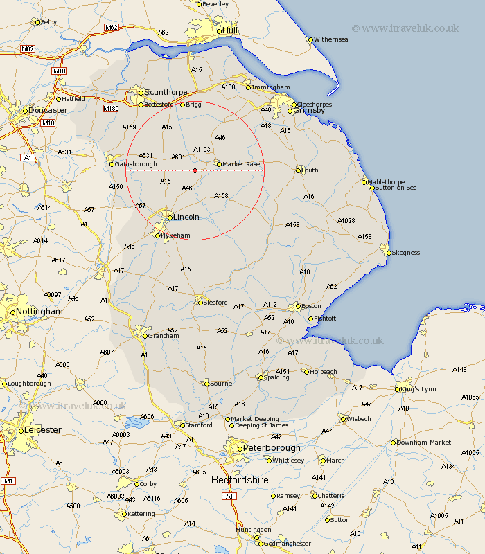
Lincolnshire Map Showing Location of Newton
Population: 338
District: West Lindsey
Easting: 504232 Northing: 386710
Latitude: 53.37 Longitude: -0.43
 = Newton
District: West Lindsey
Easting: 504232 Northing: 386710
Latitude: 53.37 Longitude: -0.43
= Newton
This Newton map below is supplied by Google. Use the tools in the top left corner to zoom into street level or zoom out for a road map, you may also need to zoom in to see Newton on the map. Click and drag the map to move around. If the map fails to load try and refresh your browser or zoom in or out (+ or -).
Update - it seems Google no longer allow people to use their maps for free! This Newton map sometimes loads and sometimes gives a error. I am working on a solution.
Closest 30 Towns or Cities to Newton (Population over 500)
Middle Rasen 4.79km Market Rasen 6.89km Dunholme 7.74km Dunholm 7.74km Welton 8.13km Scothern 9.34km Holton 9.95km Ingham 10.63km Waddingham 10.78km South Kelsey 11.12km Sudbrooke 11.17km Scrampton 11.55km Scampton 11.55km Nettleham 11.61km Wragby 12.82km North Kelsey 13.01km Cherry Willingham 14.72km Reepham 14.83km Fiskerton 14.83km Nettleton 15.09km Caistor 15.09km Kirton 15.67km Kirton in Lindsey 15.67km Hibaldstow 16.23km Lincoln 16.25km Willingham 16.69km Washingborough 16.83km binbrook 18.15km Scotton 18.16km Saxilby 18.19km