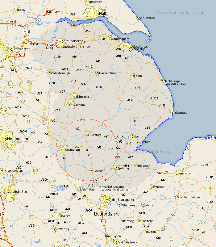
Lincolnshire Map Showing Location of Newton
District: North Kesteven
Easting: 505368 Northing: 334802
Latitude: 52.9 Longitude: -0.43
 = Newton
Easting: 505368 Northing: 334802
Latitude: 52.9 Longitude: -0.43
= Newton
This Newton map below is supplied by Google. Use the tools in the top left corner to zoom into street level or zoom out for a road map, you may also need to zoom in to see Newton on the map. Click and drag the map to move around. If the map fails to load try and refresh your browser or zoom in or out (+ or -).
Update - it seems Google no longer allow people to use their maps for free! This Newton map sometimes loads and sometimes gives a error. I am working on a solution.
Closest 30 Towns or Cities to Newton (Population over 500)
Folkingham 4.33km Ropsley 5.89km Billingborough 6.96km Pointon 8.72km Helpringham 9.68km Ancaster 10km Rippingale 10.29km Sleaford 10.49km Hale 11.49km Great Hale 11.49km Belton 11.77km Corby 12.45km Heckington 12.49km Heasingham 13.02km Leasingham 13.02km Grantham 13.41km Morton 13.72km Cranwell 14.99km Buskington 15.2km Ruskington 15.2km Bourn 15.2km Bourne 15.2km Donington 15.65km Great Gonerby 15.76km Colsterworth 16.59km Brauncewell 16.68km Barrowby 16.77km Caythorpe 17.12km Harlaxton 17.18km Fulbeck 17.91km