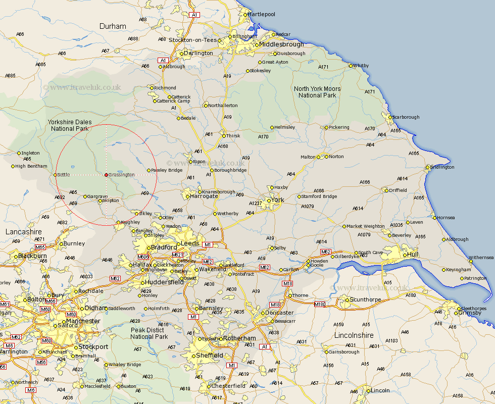
Yorkshire Map Showing Location of Grassington
Population: 1155
District: Craven
Easting: 401090 Northing: 463434
Latitude: 54.07 Longitude: -1.98
 = Grassington
District: Craven
Easting: 401090 Northing: 463434
Latitude: 54.07 Longitude: -1.98
= Grassington
This Grassington map below is supplied by Google. Use the tools in the top left corner to zoom into street level or zoom out for a road map, you may also need to zoom in to see Grassington on the map. Click and drag the map to move around. If the map fails to load try and refresh your browser or zoom in or out (+ or -).
Update - it seems Google no longer allow people to use their maps for free! This Grassington map sometimes loads and sometimes gives a error. I am working on a solution.
Closest 30 Towns or Cities to Grassington (Population over 500)
Threshfield 2.86km Embsay 11.12km Skipton 11.33km Gargrave 12km Bewerley 14.26km Carleton 15.46km Carlton 15.46km Addingham 16.21km Bradley 16.72km Cononley 16.82km Dacre 17.5km Hellifield 17.84km Settle 18.49km Glusburn 18.56km Giggleswick 18.59km Earby 18.82km Silsden 18.82km Darley 18.86km Long Preston 18.93km Ilkley 19.92km Sutton-in-Craven 20.39km Steeton 20.5km Keighley 20.85km Burley in Wharfedale 22.6km Burley 22.6km Birstwith 24.22km Kirkby Malzeard 24.41km Grewelthorpe 25.3km Hampsthwaite 25.64km Bingley 26.01km