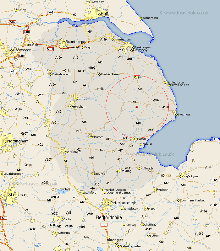
Lincolnshire Map Showing Location of Lusby
Population: 87
District: East Lindsey
Easting: 533631 Northing: 367032
Latitude: 53.18 Longitude: -0
 = Lusby
District: East Lindsey
Easting: 533631 Northing: 367032
Latitude: 53.18 Longitude: -0
= Lusby
This Lusby map below is supplied by Google. Use the tools in the top left corner to zoom into street level or zoom out for a road map, you may also need to zoom in to see Lusby on the map. Click and drag the map to move around. If the map fails to load try and refresh your browser or zoom in or out (+ or -).
Update - it seems Google no longer allow people to use their maps for free! This Lusby map sometimes loads and sometimes gives a error. I am working on a solution.
Closest 30 Towns or Cities to Lusby (Population over 500)
Mareham on the Hill 4.44km Mareham-on-the-Hill 4.44km Mareham 4.44km Spilsby 6.66km Horncastle 7.99km Banovallum 7.99km Stickney 11.17km Carrington 11.61km Coningsby 13.36km Willoughby 13.83km Alford 14.28km Woodhall Spa 14.91km Tattershall 16.24km Sibsey 16.72km Frithville 16.83km Legbourne 17.01km Burgh le Marsh 17.07km Croft 17.57km Friskney 17.83km Wrangle 18.41km Wainfleet All Saints 19.07km Wainfleet 19.07km Huttoft 19.24km Leake 19.69km Old Leake 19.69km Louth 20.42km Leverton 21.13km Grimoldby 21.13km Chapel St Leonards 21.42km Chapel Saint Leonards 21.42km