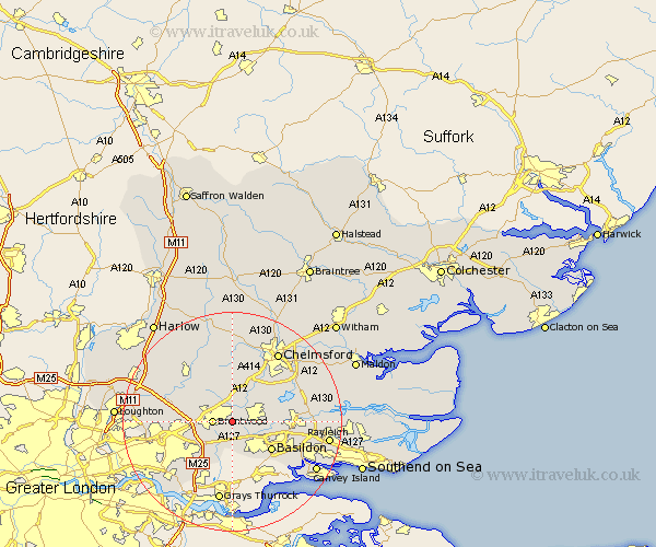
Essex Map Showing Location of Hutton
District: Brentwood
Easting: 563830 Northing: 193580
Latitude: 51.62 Longitude: 0.37
 = Hutton
Easting: 563830 Northing: 193580
Latitude: 51.62 Longitude: 0.37
= Hutton
This Hutton map below is supplied by Google. Use the tools in the top left corner to zoom into street level or zoom out for a road map, you may also need to zoom in to see Hutton on the map. Click and drag the map to move around. If the map fails to load try and refresh your browser or zoom in or out (+ or -).
Update - it seems Google no longer allow people to use their maps for free! This Hutton map sometimes loads and sometimes gives a error. I am working on a solution.
Closest 30 Towns or Cities to Hutton (Population over 500)
Mountnessing 2.17km Billericay 3.45km Brentwood 3.45km Herongate 4.02km Ingrave 4.37km Great Burstead 5.07km Ingatestone 5.68km Ramsden Heath 5.75km Stock 5.91km Kelvedon Hatch 8km Margaretting 8.17km Basildon 8.87km Navestock 9.39km West Hanningfield 9.92km South Hanningfield 10.52km Wickford 10.52km Galleywood 11.55km High Ongar 11.55km Stanford Rivers 11.75km Writtle 12.03km Corringham 12.24km Chipping Ongar 12.27km Great Baddow 13.05km Rettendon 13.18km Stanford le Hope 13.43km South Ockedon 13.77km South Ockendon 13.77km East Hanningfield 13.82km Rawreth 13.94km Fyfield 14.68km