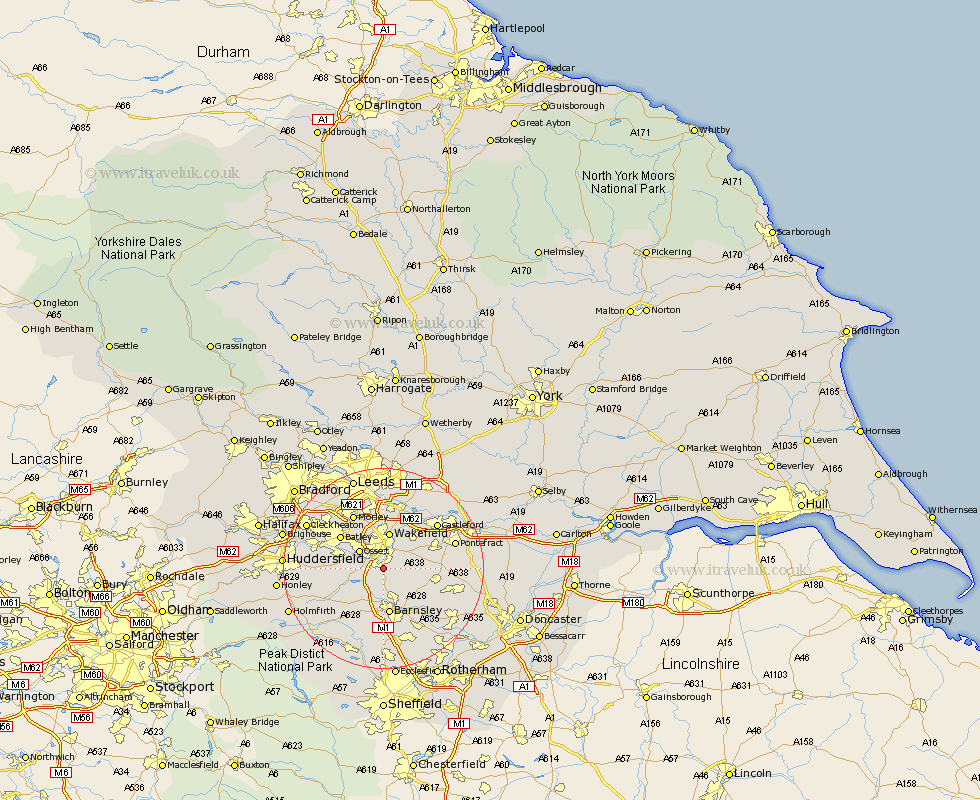
Yorkshire Map Showing Location of Hill Top
Population: 97
District: Wakefield
Easting: 433058 Northing: 415339
Latitude: 53.63 Longitude: -1.5
 = Hill Top
District: Wakefield
Easting: 433058 Northing: 415339
Latitude: 53.63 Longitude: -1.5
= Hill Top
This Hill Top map below is supplied by Google. Use the tools in the top left corner to zoom into street level or zoom out for a road map, you may also need to zoom in to see Hill Top on the map. Click and drag the map to move around. If the map fails to load try and refresh your browser or zoom in or out (+ or -).
Update - it seems Google no longer allow people to use their maps for free! This Hill Top map sometimes loads and sometimes gives a error. I am working on a solution.
Closest 30 Towns or Cities to Hill Top (Population over 500)
Crigglestone 2.2km Woolley 3.86km Notton 3.86km West Bretton 4.77km Bretton 4.77km Ryhill 4.77km Royston 4.96km Horbury 4.96km Ossett 5.75km Crofton 5.8km Darton 5.98km Middlestown 6.85km Middletown 6.85km Wakefield 7.5km Stanley 7.5km Fitzwilliam 7.69km Shafton 7.82km Emley 8.98km Cawthorne 9.22km Cudworth 9.22km Normanton 9.23km Barnsley 9.33km Batley 10.44km Hemsworth 10.56km Dewsbury 10.68km Drewsbury 10.68km Lofthouse 11.12km Ackworth Moor Top 11.14km High Ackworth 11.14km Ackworth 11.14km