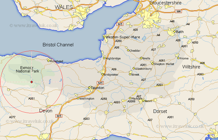
Somerset Map Showing Location of Hawkridge
District: West Somerset
Easting: 285568 Northing: 131035
Latitude: 51.07 Longitude: -3.63
 = Hawkridge
Easting: 285568 Northing: 131035
Latitude: 51.07 Longitude: -3.63
= Hawkridge
This Hawkridge map below is supplied by Google. Use the tools in the top left corner to zoom into street level or zoom out for a road map, you may also need to zoom in to see Hawkridge on the map. Click and drag the map to move around. If the map fails to load try and refresh your browser or zoom in or out (+ or -).
Update - it seems Google no longer allow people to use their maps for free! This Hawkridge map sometimes loads and sometimes gives a error. I am working on a solution.
Closest 30 Towns or Cities to Hawkridge (Population over 500)
Dulverton 6.91km Brushford 8.93km Porlock 15km Dunster 15.23km Minehead 18.15km Carhampton 19.92km Williton 20.04km Wiveliscombe 22.44km Watchet 23.71km Stogumber 24.42km Milverton 27.37km Oake 30.8km Wellington 31.2km Bishops Lydeard 31.44km West Buckland 33.38km Nether Stowey 33.87km Norton Fitzwarren 33.99km Kingston 36.1km Taunton 36.31km Spaxton 36.51km Trull 36.88km Stoke Courcy 37.23km Stogursey 37.23km Stokscourey 37.23km Pitminster 37.81km Otterhampton 40.51km West Monkton 40.81km Durleigh 41.12km North Petherton 43.23km Creech Saint Michael 43.47km