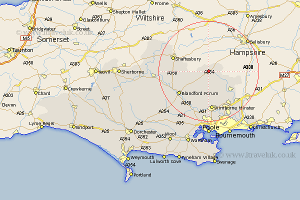
Dorset Map Showing Location of Handley
Population: 1175
District: East Dorset
Easting: 400000 Northing: 116790
Latitude: 50.95 Longitude: -2
 = Handley
District: East Dorset
Easting: 400000 Northing: 116790
Latitude: 50.95 Longitude: -2
= Handley
This Handley map below is supplied by Google. Use the tools in the top left corner to zoom into street level or zoom out for a road map, you may also need to zoom in to see Handley on the map. Click and drag the map to move around. If the map fails to load try and refresh your browser or zoom in or out (+ or -).
Update - it seems Google no longer allow people to use their maps for free! This Handley map sometimes loads and sometimes gives a error. I am working on a solution.
Closest 30 Towns or Cities to Handley (Population over 500)
Handley 0km Cranborne 8.06km Charlton 10.04km Tarrant Monkton 10.95km Horton 11.66km Pimperne 11.93km Alderholt 12.25km Fontmell Magna 12.84km Iwerne Minster 12.98km Verwood 13.16km Blandford Forum 14.91km Blandford 14.91km Shaftesbury 15.07km Wimborne Minster 15.61km Wimborne 15.61km Stourpaine 15.86km West Moors 16.4km St Leonards 16.71km St. Leonards 16.71km Saint Leonards 16.71km Child Okeford 16.77km Motcombe 16.88km Spetisbury 16.93km Shillingstone 18.38km Corfe Mullen 18.68km Sturminster Marshall 19.12km Ferndown 19.12km Fern Down 19.12km Stour Provost 20.18km Sturminster Newton 20.2km