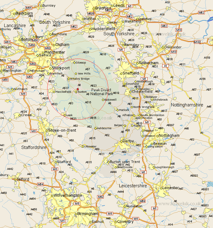
Derbyshire Map Showing Location of Fairfield
Population: 104
District: High Peak
Easting: 406668 Northing: 374447
Latitude: 53.27 Longitude: -1.9
 = Fairfield
District: High Peak
Easting: 406668 Northing: 374447
Latitude: 53.27 Longitude: -1.9
= Fairfield
This Fairfield map below is supplied by Google. Use the tools in the top left corner to zoom into street level or zoom out for a road map, you may also need to zoom in to see Fairfield on the map. Click and drag the map to move around. If the map fails to load try and refresh your browser or zoom in or out (+ or -).
Update - it seems Google no longer allow people to use their maps for free! This Fairfield map sometimes loads and sometimes gives a error. I am working on a solution.
Closest 30 Towns or Cities to Fairfield (Population over 500)
Buxton 2.16km Chapel en le Frith 5.56km Tideswell 8.87km Whaley Bridge 9.25km New Mills 11.17km Bradwell 11.42km Castleton 11.55km Hayfield 13.38km Hope 13.61km Longstone 13.82km Great Longstone 13.82km Eyam 15.62km Middleton 16.51km Stoney Middleton 16.63km Stony Middleton 16.63km Bamford 17.12km Bakewell 17.21km Youlgreave 17.35km Hathersage 17.52km Grindleford 17.83km Grindleford Bridge 17.83km Glossop 19.01km Baslow 19.21km Charlesworth 19.68km Winster 22.3km Tintwhistle 22.67km Tintwistle 22.67km Darley Dale 22.86km Holmesfield 25.56km Brassington 26.33km