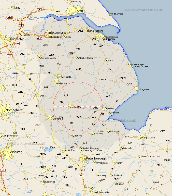
Lincolnshire Map Showing Location of Ewerby
Population: 374
District: North Kesteven
Easting: 511835 Northing: 346075
Latitude: 53 Longitude: -0.33
 = Ewerby
District: North Kesteven
Easting: 511835 Northing: 346075
Latitude: 53 Longitude: -0.33
= Ewerby
This Ewerby map below is supplied by Google. Use the tools in the top left corner to zoom into street level or zoom out for a road map, you may also need to zoom in to see Ewerby on the map. Click and drag the map to move around. If the map fails to load try and refresh your browser or zoom in or out (+ or -).
Update - it seems Google no longer allow people to use their maps for free! This Ewerby map sometimes loads and sometimes gives a error. I am working on a solution.
Closest 30 Towns or Cities to Ewerby (Population over 500)
Buskington 4.99km Ruskington 4.99km Heckington 4.99km Sleaford 5.18km Heasingham 5.88km Leasingham 5.88km Great Hale 6.49km Hale 6.49km Helpringham 7.75km Brauncewell 8.7km Digby 9.53km Cranwell 9.66km Billinghay 9.85km Bloxholm 10.81km Bloxholme 10.81km Scopwick 11.98km Martin 12.98km Billingborough 12.98km Ancaster 13.89km Tattershall 14.25km Donington 14.26km Swineshead 14.34km Bicker 14.51km Metheringham 15.48km Folkingham 15.48km Brothertoft 15.73km Welbourn 16.28km Navenby 16.55km Pointon 16.68km Coningsby 17.1km