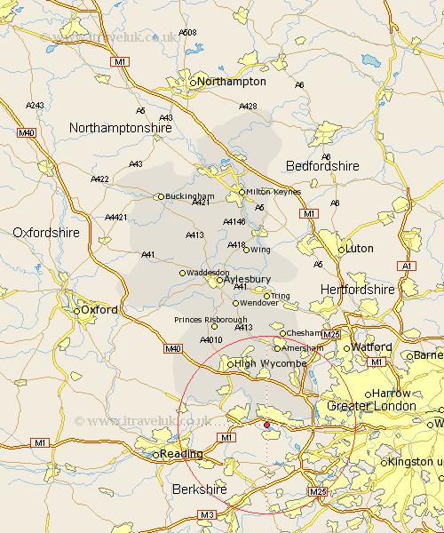
Buckinghamshire Map Showing Location of Dorney
Population: 713
District: South Bucks
Easting: 493696 Northing: 178813
Latitude: 51.5 Longitude: -0.65
 = Dorney
District: South Bucks
Easting: 493696 Northing: 178813
Latitude: 51.5 Longitude: -0.65
= Dorney
This Dorney map below is supplied by Google. Use the tools in the top left corner to zoom into street level or zoom out for a road map, you may also need to zoom in to see Dorney on the map. Click and drag the map to move around. If the map fails to load try and refresh your browser or zoom in or out (+ or -).
Update - it seems Google no longer allow people to use their maps for free! This Dorney map sometimes loads and sometimes gives a error. I am working on a solution.
Closest 30 Towns or Cities to Dorney (Population over 500)
Burnham 1.86km Taplow 2.96km Farnham Royal 4.36km Wooburn 7.77km Hedgerley 8.18km Bourne End 8.18km Fulmer 8.88km Iver Heath 10.28km Iver 10.38km Little Marlow 10.91km Great Marlow 10.96km Marlow 10.96km Beaconsfield 11.18km Flackwell Heath 11.64km Denham 12.75km Gerrards Cross 12.83km Chalfont St Peter 13.09km Chalfont Saint Peter 13.09km Chalfont St. Peter 13.09km Penn 13.18km Chalfont St. Giles 14.2km Chalfont St Giles 14.2km Chalfont Saint Giles 14.2km Medmenham 14.91km Hambleden 16.72km High Wycombe 16.87km Chepping 16.87km Wycombe 16.87km Hazlemere 17.03km Hughenden 17.65km