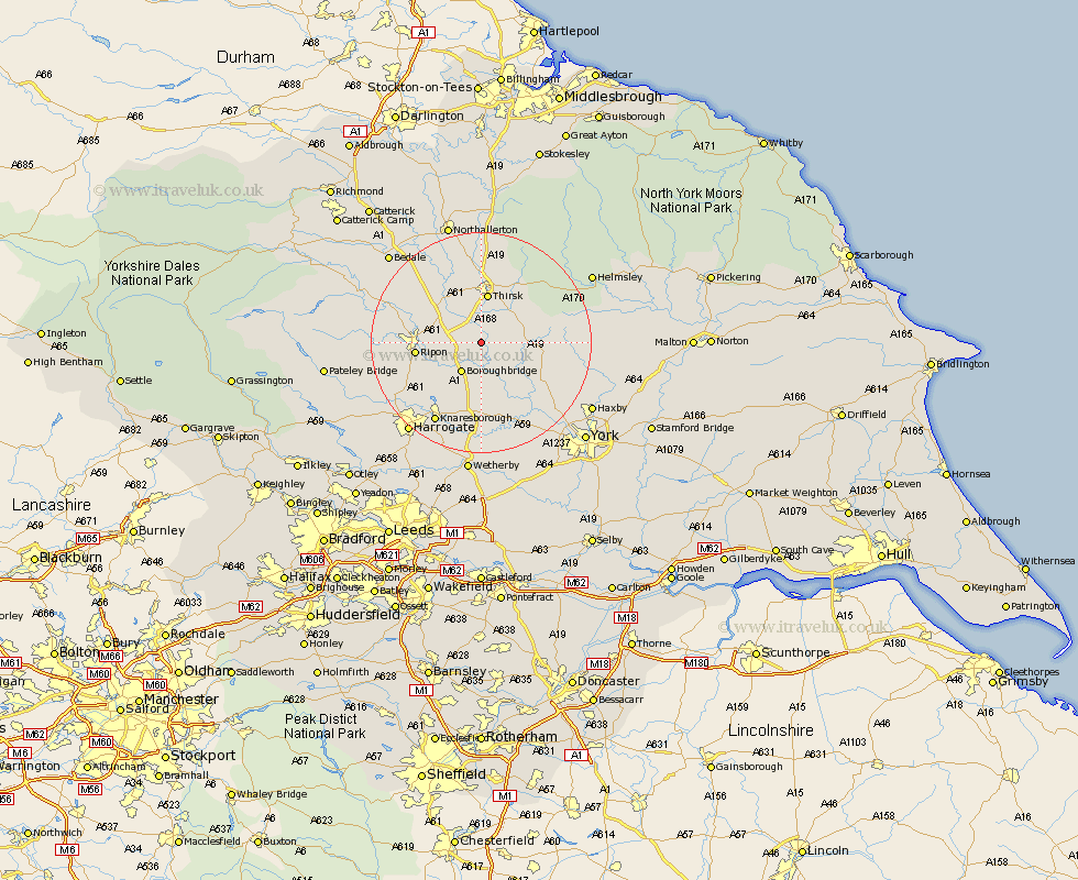
Yorkshire Map Showing Location of Cundall
Population: 102
District: Harrogate
Easting: 442466 Northing: 471042
Latitude: 54.13 Longitude: -1.35
 = Cundall
District: Harrogate
Easting: 442466 Northing: 471042
Latitude: 54.13 Longitude: -1.35
= Cundall
This Cundall map below is supplied by Google. Use the tools in the top left corner to zoom into street level or zoom out for a road map, you may also need to zoom in to see Cundall on the map. Click and drag the map to move around. If the map fails to load try and refresh your browser or zoom in or out (+ or -).
Update - it seems Google no longer allow people to use their maps for free! This Cundall map sometimes loads and sometimes gives a error. I am working on a solution.
Closest 30 Towns or Cities to Cundall (Population over 500)
Dishforth 4.72km Topcliffe 5.97km Boroughbridge 6.44km Raskelf 6.51km Marton le Moor 7.48km Marton 7.48km Thirsk 9.34km Alne 9.42km Ouseburn 9.51km Great Ouseburn 9.51km Easingwold 9.95km Ripon 11.02km Bishop Monkton 11.25km Monkton 11.25km Tollerton 11.42km Burton Leonard 12.27km Linton upon Ouse 12.89km Linton on Ouse 12.89km Linton-on-Ouse 12.89km Linton 12.89km Whixley 13.15km Newton upon Ouse 14.12km Newton 14.12km Green Hammerton 15.18km Huby 15.18km Stillington 15.65km West Tanfield 15.94km Tanfield 15.94km Knaresborough 16.66km Ampleforth 16.9km