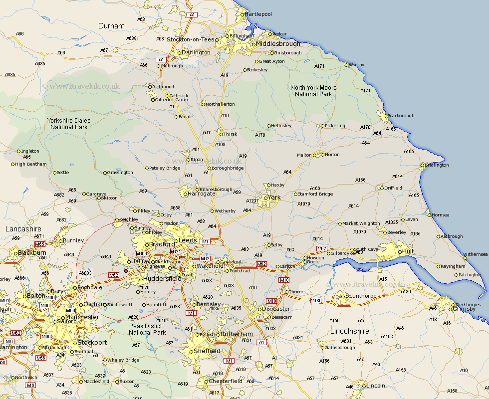
Yorkshire Map Showing Location of Greetland
District: Calderdale
Easting: 408805 Northing: 420793
Latitude: 53.68 Longitude: -1.87
 = Greetland
Easting: 408805 Northing: 420793
Latitude: 53.68 Longitude: -1.87
= Greetland
This Greetland map below is supplied by Google. Use the tools in the top left corner to zoom into street level or zoom out for a road map, you may also need to zoom in to see Greetland on the map. Click and drag the map to move around. If the map fails to load try and refresh your browser or zoom in or out (+ or -).
Update - it seems Google no longer allow people to use their maps for free! This Greetland map sometimes loads and sometimes gives a error. I am working on a solution.
Closest 30 Towns or Cities to Greetland (Population over 500)
Elland 2.19km Halifax 3.87km Luddenden Foot 5.75km Ripponden 5.79km Brighouse 5.79km Huddersfield 6.62km Mytholmroyd 8.53km Queensbury 9.84km Honley 10.25km Cleckheaton 10.55km Liversedge 11.13km Meltham 11.17km Denholme 11.33km Mirfield 12.22km Hebden Bridge 12.35km Heptonstall 12.35km Heckmondwike 13.3km Bradford 13.51km Oxenhope 14.09km Kirkburton 14.37km Todmorden 14.74km Wilsden 14.83km Shepley 14.88km Holme 14.98km Cullingworth 14.99km Shelley 15.23km Haworth 15.81km Batley 16.19km Holmfirth 16.22km Drewsbury 16.56km