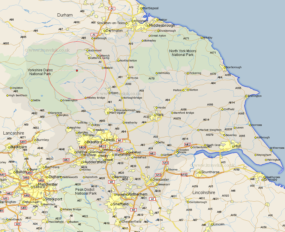
Yorkshire Map Showing Location of Coverham
Population: 67
District: Richmondshire
Easting: 410854 Northing: 485701
Latitude: 54.27 Longitude: -1.83
 = Coverham
District: Richmondshire
Easting: 410854 Northing: 485701
Latitude: 54.27 Longitude: -1.83
= Coverham
This Coverham map below is supplied by Google. Use the tools in the top left corner to zoom into street level or zoom out for a road map, you may also need to zoom in to see Coverham on the map. Click and drag the map to move around. If the map fails to load try and refresh your browser or zoom in or out (+ or -).
Update - it seems Google no longer allow people to use their maps for free! This Coverham map sometimes loads and sometimes gives a error. I am working on a solution.
Closest 30 Towns or Cities to Coverham (Population over 500)
Middleham 2.14km Leyburn 3.86km Bradley 10.29km Masham 13.15km Crakehall 14.54km Grewelthorpe 15.1km Richmond 16.18km Kirkby Malzeard 16.3km Bedale 16.34km Catterick 17.08km West Tanfield 18.85km Tanfield 18.85km Scorton 19.93km Gilling 20.01km Bewerley 20.85km Middleton Tyas 23.59km North Cowton 23.6km Hawes 24.09km Grassington 24.29km Barton 25.21km Dacre 25.26km Cowton 25.62km East Cowton 25.62km Melsonby 25.97km Ripon 26.51km Threshfield 26.89km Northallerton 26.99km Darley 27.37km Brompton 28.57km Birstwith 29.54km