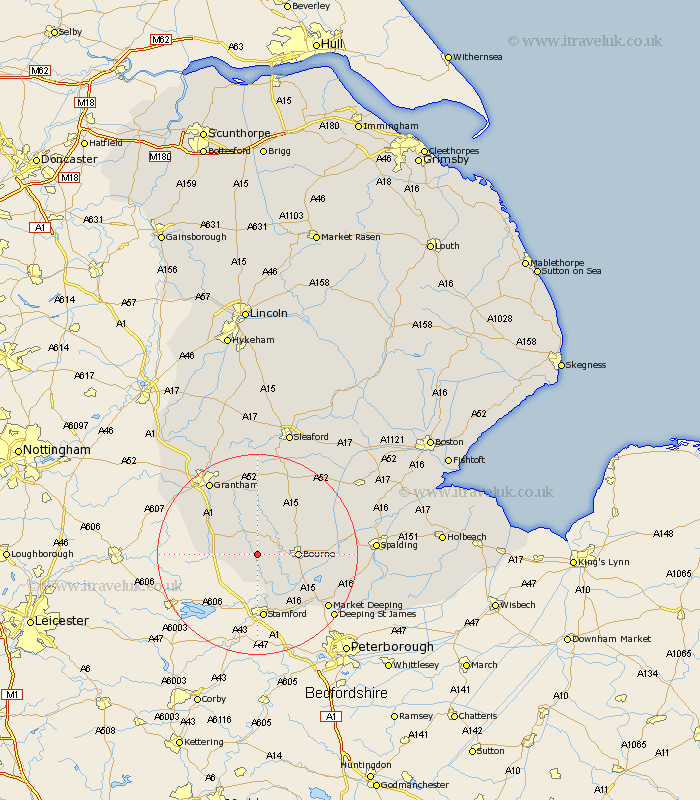
Lincolnshire Map Showing Location of Counthorpe
Population: 97
District: South Kesteven
Easting: 501194 Northing: 319881
Latitude: 52.77 Longitude: -0.5
 = Counthorpe
District: South Kesteven
Easting: 501194 Northing: 319881
Latitude: 52.77 Longitude: -0.5
= Counthorpe
This Counthorpe map below is supplied by Google. Use the tools in the top left corner to zoom into street level or zoom out for a road map, you may also need to zoom in to see Counthorpe on the map. Click and drag the map to move around. If the map fails to load try and refresh your browser or zoom in or out (+ or -).
Update - it seems Google no longer allow people to use their maps for free! This Counthorpe map sometimes loads and sometimes gives a error. I am working on a solution.
Closest 30 Towns or Cities to Counthorpe (Population over 500)
Corby 3.87km Castle Bytham 4.34km Bourne 7.85km Bourn 7.85km South Witham 8.07km Colsterworth 8.68km Morton 9.16km Rippingale 10.55km Thurlby 10.56km Baston 12.53km Folkingham 12.99km Ropsley 13.01km Stamford 13.03km Langfoft 13.45km Langtoft 13.45km Uffington 14.14km Pointon 14.54km Harlaxton 16.6km Billingborough 17.13km Grantham 17.32km Market Deeping 17.47km Barrowby 19.27km Deeping St. James 19.53km Deeping Saint James 19.53km Deeping St James 19.53km Belton 19.7km Great Gonerby 20.09km Deeping St. Nicholas 20.95km Deeping St Nicholas 20.95km Deeping Saint Nicholas 20.95km