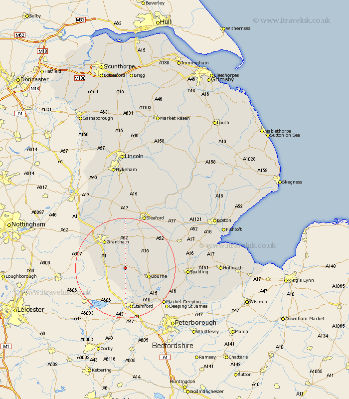
Lincolnshire Map Showing Location of Corby
Population: 719
District: South Kesteven
Easting: 499993 Northing: 323561
Latitude: 52.8 Longitude: -0.52
 = Corby
District: South Kesteven
Easting: 499993 Northing: 323561
Latitude: 52.8 Longitude: -0.52
= Corby
This Corby map below is supplied by Google. Use the tools in the top left corner to zoom into street level or zoom out for a road map, you may also need to zoom in to see Corby on the map. Click and drag the map to move around. If the map fails to load try and refresh your browser or zoom in or out (+ or -).
Update - it seems Google no longer allow people to use their maps for free! This Corby map sometimes loads and sometimes gives a error. I am working on a solution.
Closest 30 Towns or Cities to Corby (Population over 500)
Colsterworth 6.72km Castle Bytham 7.5km South Witham 8.73km Ropsley 9.26km Bourne 9.7km Bourn 9.7km Rippingale 10.25km Morton 10.25km Folkingham 10.79km Harlaxton 13.43km Pointon 13.51km Grantham 13.6km Thurlby 13.7km Billingborough 15.41km Barrowby 15.78km Baston 15.8km Belton 15.84km Great Gonerby 16.43km Langfoft 16.61km Langtoft 16.61km Stamford 16.83km Uffington 17.99km Ancaster 18.57km Allington 20km Helpringham 20.77km Market Deeping 20.8km Sleaford 22.65km Great Hale 22.88km Hale 22.88km Deeping St James 22.92km