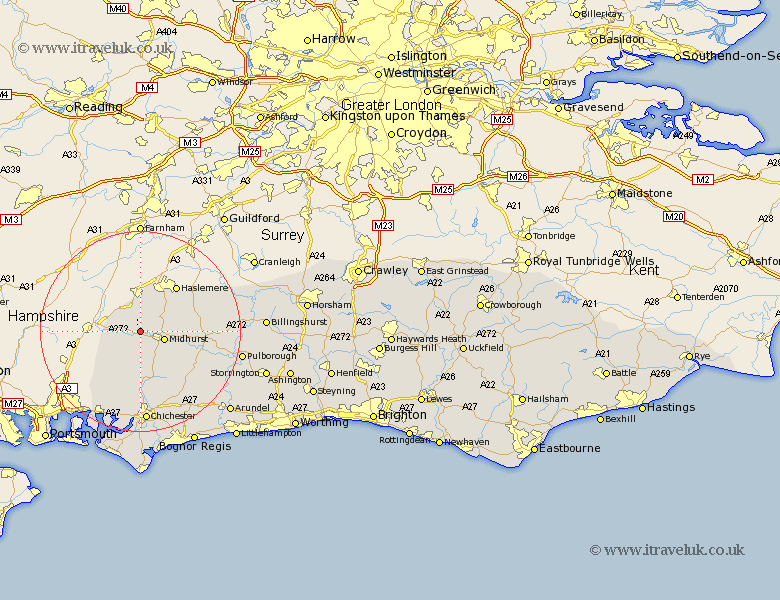
Sussex Map Showing Location of Chithurst
Population: 328
District: Chichester
Easting: 484194 Northing: 123035
Latitude: 51 Longitude: -0.8
 = Chithurst
District: Chichester
Easting: 484194 Northing: 123035
Latitude: 51 Longitude: -0.8
= Chithurst
This Chithurst map below is supplied by Google. Use the tools in the top left corner to zoom into street level or zoom out for a road map, you may also need to zoom in to see Chithurst on the map. Click and drag the map to move around. If the map fails to load try and refresh your browser or zoom in or out (+ or -).
Update - it seems Google no longer allow people to use their maps for free! This Chithurst map sometimes loads and sometimes gives a error. I am working on a solution.
Closest 30 Towns or Cities to Chithurst (Population over 500)
Iping 2.19km Rogate 2.33km Midhurst 5.02km East Harting 5.96km Linchmere 6.57km Fernhurst 6.91km Lurgashall 9.51km Graffham 11.03km North Chapel 12.91km Northchapel 12.91km Tillington 12.96km Stoughton 13.44km Petworth 14.12km Funtington 15.93km Lavant 16.72km Plaistow 17.24km Fittleworth 17.26km Kirdford 17.59km Tangmere 17.67km Boxgrove 17.67km Fishbourne 18.54km Chichester 18.57km Westbourne 18.58km Southbourne 18.58km Oving 19.44km Bury 19.77km Coldwaltham 20.09km Slindon 20.36km Pulborough 20.6km Amberley 20.85km