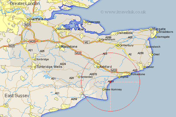
Kent Map Showing Location of Burmarsh
Population: 358
District: Shepway
Easting: 610317 Northing: 130335
Latitude: 51.03 Longitude: 1
 = Burmarsh
District: Shepway
Easting: 610317 Northing: 130335
Latitude: 51.03 Longitude: 1
= Burmarsh
This Burmarsh map below is supplied by Google. Use the tools in the top left corner to zoom into street level or zoom out for a road map, you may also need to zoom in to see Burmarsh on the map. Click and drag the map to move around. If the map fails to load try and refresh your browser or zoom in or out (+ or -).
Update - it seems Google no longer allow people to use their maps for free! This Burmarsh map sometimes loads and sometimes gives a error. I am working on a solution.
Closest 30 Towns or Cities to Burmarsh (Population over 500)
Dymchurch 1.85km Lympne 4.39km Aldington 6.57km Hythe 6.91km New Romney 7.26km Sellinge 7.42km Sellindge 7.42km Rockinge 8.37km Ruckinge 8.37km Mersham 8.76km Smeeth 9.56km Ham Street 10.65km Lydd 10.95km Lyminge 10.95km Brabourne 11.12km Orlestone 11.12km Hinxhill 12.06km Kingsnorth 12.84km Ashford 13.79km Hawkinge 13.81km Folkestone 13.97km Folkstone 13.97km Shadoxhurst 14.8km Elham 15.32km Kennington 15.32km Woodchurch 16.73km Swingfield 16.96km Stelling 17.32km Wye 17.32km Hothfield 18.23km