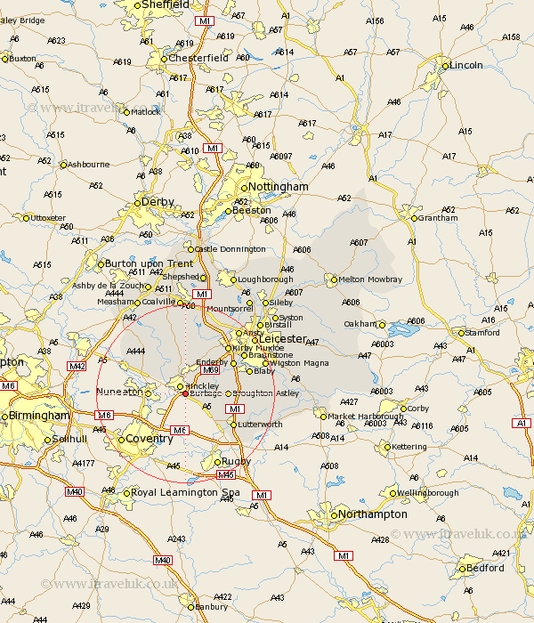
Leicestershire Map Showing Location of Burbage
Population: 14324
District: Hinckley and Bosworth
Easting: 444102 Northing: 291218
Latitude: 52.52 Longitude: -1.35
 = Burbage
District: Hinckley and Bosworth
Easting: 444102 Northing: 291218
Latitude: 52.52 Longitude: -1.35
= Burbage
This Burbage map below is supplied by Google. Use the tools in the top left corner to zoom into street level or zoom out for a road map, you may also need to zoom in to see Burbage on the map. Click and drag the map to move around. If the map fails to load try and refresh your browser or zoom in or out (+ or -).
Update - it seems Google no longer allow people to use their maps for free! This Burbage map sometimes loads and sometimes gives a error. I am working on a solution.
Closest 30 Towns or Cities to Burbage (Population over 500)
Hinckley 2.16km Sharnford 4.51km Elmsthorpe 5.02km Elmesthorpe 5.02km Sapcote 5.64km Stoney Stanton 5.93km Stoke Golding 6.51km Higham-on-the-Hill 6.74km Higham on the Hill 6.74km Claybrooke 6.75km Claybrooke Parva 6.75km Little Claybrooke 6.75km Croft 8.72km Ullesthorpe 8.76km Broughton Astley 9.02km Newbold Verdon 11.18km Narborough 11.57km Market Bosworth 11.62km Cosby 11.87km Desford 12km Enderby 12.56km Whetstone 12.57km Lutterworth 12.58km Barlestone 13.02km Kirby Muxloe 14.31km Sheepy 14.59km Blaby 14.62km Gilmarton 14.64km Gilmorton 14.64km Bagworth 14.87km