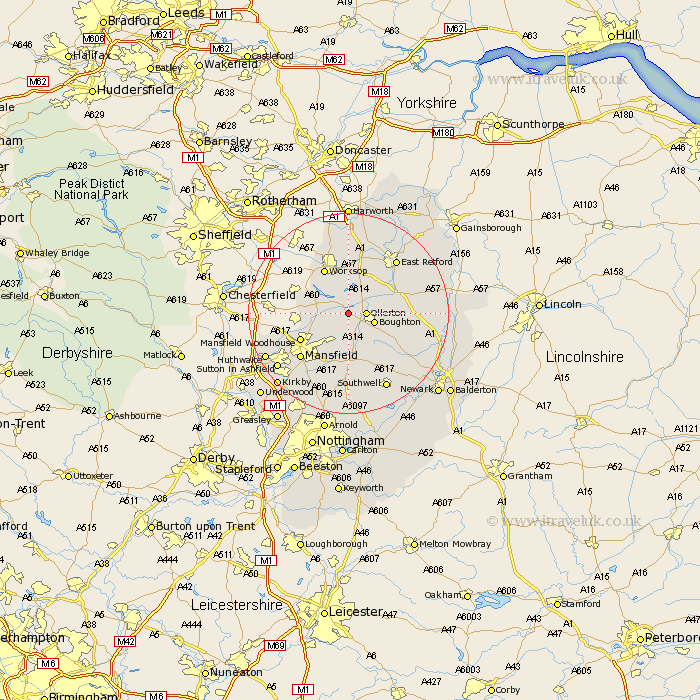
Nottinghamshire Map Showing Location of Budby
Population: 198
District: Newark and Sherwood
Easting: 462315 Northing: 369287
Latitude: 53.22 Longitude: -1.07
 = Budby
District: Newark and Sherwood
Easting: 462315 Northing: 369287
Latitude: 53.22 Longitude: -1.07
= Budby
This Budby map below is supplied by Google. Use the tools in the top left corner to zoom into street level or zoom out for a road map, you may also need to zoom in to see Budby on the map. Click and drag the map to move around. If the map fails to load try and refresh your browser or zoom in or out (+ or -).
Update - it seems Google no longer allow people to use their maps for free! This Budby map sometimes loads and sometimes gives a error. I am working on a solution.
Closest 30 Towns or Cities to Budby (Population over 500)
Ollerton 3.33km Edwinstowe 3.71km Boughton 5.22km Walesby 5.85km Warsop 5.85km Clipstone 5.99km Elkesley 8.67km Elksley 8.67km Bilsthorpe 9.54km Worksop 10.27km Mansfield Woodhouse 10.48km Rainworth 11.61km Tuxford 12.21km Markham 12.75km East Markham 12.75km Mansfield 12.84km Shireoaks 12.96km Farnsfield 13.17km Pleasley 13.42km East Retford 14.22km Grove 14.45km Blidworth 15.48km Sutton 15.82km Blyth 16.68km Southwell 16.81km Ranskill 17.01km Ramskill 17.01km Sutton in Ashfield 17.36km Hucknall 18.11km Hucknall-under-Huthwaite 18.11km