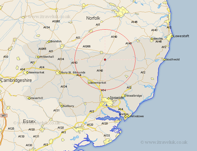
Suffolk Map Showing Location of Brome
Population: 432
District: Mid Suffolk
Easting: 613456 Northing: 275244
Latitude: 52.33 Longitude: 1.13
 = Brome
District: Mid Suffolk
Easting: 613456 Northing: 275244
Latitude: 52.33 Longitude: 1.13
= Brome
This Brome map below is supplied by Google. Use the tools in the top left corner to zoom into street level or zoom out for a road map, you may also need to zoom in to see Brome on the map. Click and drag the map to move around. If the map fails to load try and refresh your browser or zoom in or out (+ or -).
Update - it seems Google no longer allow people to use their maps for free! This Brome map sometimes loads and sometimes gives a error. I am working on a solution.
Closest 30 Towns or Cities to Brome (Population over 500)
Eye 2.17km Hoxne 4.89km Thorndon 5.56km Wortham 5.96km Gislingham 6.77km Botesdale 7.93km Stradbroke 9.25km Redgrave 9.79km Mendlesham 10.31km Worlingworth 10.85km Bacton 10.85km Fressingfield 11.47km Debenham 13.4km Dennington 13.54km Hopton 14.08km Hepworth 14.72km Old Newton 15.2km Badwell Ash 15.75km Barningham 15.96km Stanton 15.96km Laxfield 16.29km Haughley 16.5km Elmswell 18.46km Framlingham 18.8km Bardwell 19.34km Stowmarket 19.56km Norton 20.37km Woolpit 20.5km Ixworth 20.73km Otley 21.49km