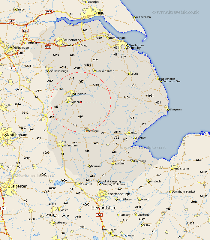
Lincolnshire Map Showing Location of Branston
Population: 3267
Area Size (ha): 92
District: North Kesteven
Easting: 502452 Northing: 366263
Latitude: 53.18 Longitude: -0.47
 = Branston
Area Size (ha): 92
District: North Kesteven
Easting: 502452 Northing: 366263
Latitude: 53.18 Longitude: -0.47
= Branston
This Branston map below is supplied by Google. Use the tools in the top left corner to zoom into street level or zoom out for a road map, you may also need to zoom in to see Branston on the map. Click and drag the map to move around. If the map fails to load try and refresh your browser or zoom in or out (+ or -).
Update - it seems Google no longer allow people to use their maps for free! This Branston map sometimes loads and sometimes gives a error. I am working on a solution.
Closest 30 Towns or Cities to Branston (Population over 500)
Branston 0km Heighington 1.86km Potter Hanworth 3.33km Washingborough 3.71km Nocton 3.81km Waddington 4.81km Dunston 5.78km Reepham 5.99km Fiskerton 5.99km Cherry Willingham 6.27km Lincoln 7.11km Metheringham 7.12km North Hykeham 7.77km Hykeham 7.77km Nettleham 9.34km Sudbrooke 9.34km Navenby 9.84km Wellingore 10.27km Scopwick 10.28km Bardney 10.66km Aubourn 10.66km Thorpe 11.11km Thorpe on the Hill 11.11km Thorpe-on-the-Hill 11.11km Scothern 11.17km Skellingthorpe 11.43km Martin 11.57km Bloxholme 11.61km Bloxholm 11.61km Digby 12.97km