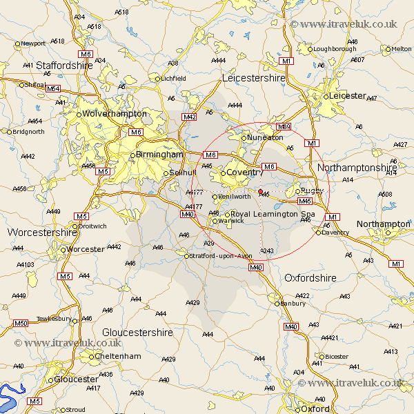
Warwickshire Map Showing Location of Brandon
Population: 588
District: Rugby
Easting: 440848 Northing: 274506
Latitude: 52.37 Longitude: -1.4
 = Brandon
District: Rugby
Easting: 440848 Northing: 274506
Latitude: 52.37 Longitude: -1.4
= Brandon
This Brandon map below is supplied by Google. Use the tools in the top left corner to zoom into street level or zoom out for a road map, you may also need to zoom in to see Brandon on the map. Click and drag the map to move around. If the map fails to load try and refresh your browser or zoom in or out (+ or -).
Update - it seems Google no longer allow people to use their maps for free! This Brandon map sometimes loads and sometimes gives a error. I am working on a solution.
Closest 30 Towns or Cities to Brandon (Population over 500)
Wolston 1.13km Brinklow 5.02km Baginton 5.66km Bubbenhall 5.86km Long Lawford 6.79km Stoneleigh 8.14km Dunchurch 8.75km Shilton 9.26km Rugby 10.18km Bulkington 11.18km Long Itchington 11.18km Allesley 11.6km Coventry 11.6km Stockton 11.63km Keresley 11.69km Leamington Spa 11.71km Royal Leamington Spa 11.71km Leamington 11.71km Bedworth 12km Clifton 12.58km Clifton upon Dunsmore 12.58km Clifton-on-Dunsmore 12.58km Clifton on Dunsmore 12.58km Kenilworth 12.59km Southam 13.03km Wolvey 13.16km Corley 13.76km Whitnash 15.21km Harbury 15.22km Warwick 15.53km