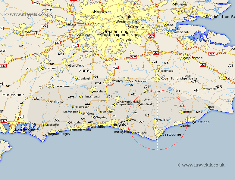
Sussex Map Showing Location of Hailsham
Population: 18136
Area Size (ha): 441
District: Wealden
Easting: 559482 Northing: 109975
Latitude: 50.87 Longitude: 0.27
 = Hailsham
Area Size (ha): 441
District: Wealden
Easting: 559482 Northing: 109975
Latitude: 50.87 Longitude: 0.27
= Hailsham
This Hailsham map below is supplied by Google. Use the tools in the top left corner to zoom into street level or zoom out for a road map, you may also need to zoom in to see Hailsham on the map. Click and drag the map to move around. If the map fails to load try and refresh your browser or zoom in or out (+ or -).
Update - it seems Google no longer allow people to use their maps for free! This Hailsham map sometimes loads and sometimes gives a error. I am working on a solution.
Closest 30 Towns or Cities to Hailsham (Population over 500)
Hellingly 1.17km Hurstmonceaux 5.03km Hurstmonceux 5.03km Herstmonceux 5.03km Horeham 5.68km Horam 5.68km Chiddingly 6.92km Warbleton 7.5km Polegate 7.78km Chalvington 8.4km East Hoathly 8.95km Heathfield 9.26km Pevensey 9.45km Laughton 9.54km Jevington 9.92km Pevensey Bay 10.21km Ninfield 10.53km Eastbourne 11km Alfriston 11.05km Catsfield 13km Framfield 13.16km Friston 13.8km Ringmer 14.15km Hadlow Down 14.22km Mayfield 14.87km Bexhill 15.81km Mountfield 15.86km Isfield 15.86km Buxted 15.98km Uckfield 16.13km