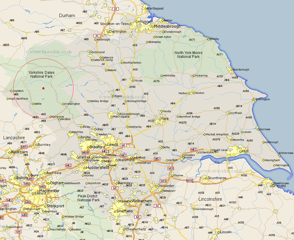
Yorkshire Map Showing Location of Halton Gill
Population: 65
District: Craven
Easting: 389119 Northing: 474572
Latitude: 54.17 Longitude: -2.17
 = Halton Gill
District: Craven
Easting: 389119 Northing: 474572
Latitude: 54.17 Longitude: -2.17
= Halton Gill
This Halton Gill map below is supplied by Google. Use the tools in the top left corner to zoom into street level or zoom out for a road map, you may also need to zoom in to see Halton Gill on the map. Click and drag the map to move around. If the map fails to load try and refresh your browser or zoom in or out (+ or -).
Update - it seems Google no longer allow people to use their maps for free! This Halton Gill map sometimes loads and sometimes gives a error. I am working on a solution.
Closest 30 Towns or Cities to Halton Gill (Population over 500)
Settle 12.88km Bradley 14.15km Giggleswick 14.52km Hawes 14.98km Clapham 15.94km Threshfield 16.24km Grassington 16.32km Long Preston 19.31km Ingleton 19.62km Hellifield 20.65km Gargrave 20.85km High Bentham 22.95km Bentham 22.95km Burton in Lonsdale 24.16km Skipton 24.29km Embsay 25.25km Middleham 26.19km Carlton 27.04km Carleton 27.04km Leyburn 27.15km Bewerley 27.66km Earby 27.99km Cononley 29.47km Glusburn 31.59km Addingham 31.87km Dacre 32.08km Silsden 33.34km Kirkby Malzeard 33.63km Grewelthorpe 33.68km Sutton-in-Craven 33.71km