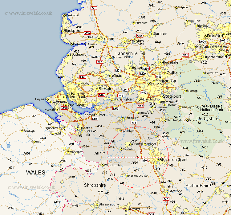
Cheshire Map Showing Location of Wrinehill
District: Crewe and Nantwich
Easting: 375404 Northing: 346696
Latitude: 53.02 Longitude: -2.37
 = Wrinehill
Easting: 375404 Northing: 346696
Latitude: 53.02 Longitude: -2.37
= Wrinehill
This Wrinehill map below is supplied by Google. Use the tools in the top left corner to zoom into street level or zoom out for a road map, you may also need to zoom in to see Wrinehill on the map. Click and drag the map to move around. If the map fails to load try and refresh your browser or zoom in or out (+ or -).
Update - it seems Google no longer allow people to use their maps for free! This Wrinehill map sometimes loads and sometimes gives a error. I am working on a solution.
Closest 30 Towns or Cities to Wrinehill (Population over 500)
Wybunbury 5.87km Willaston 9.58km Wistaston 9.98km Crewe 10.28km Alsager 10.28km Audlem 10.7km Nantwich 11.47km Rode Heath 12.44km Sandbach 12.97km Wrenbury 15.61km Wrenbury cum Frith 15.61km Brereton cum Smethwick 16.83km Brereton 16.83km Congleton 18.54km Middlewick 19.05km Middlewich 19.05km Holmes Chapel 20.38km Winsford 21.06km Bunbury 21.95km Goostrey 24.19km Little Budworth 24.2km Tarporley 24.92km Whitegate 25.38km Gawsworth 25.94km Peover Superior 25.97km Peover 25.97km Davenham 26.08km Harthill 26.67km Malpas 26.76km Hartford 27.01km