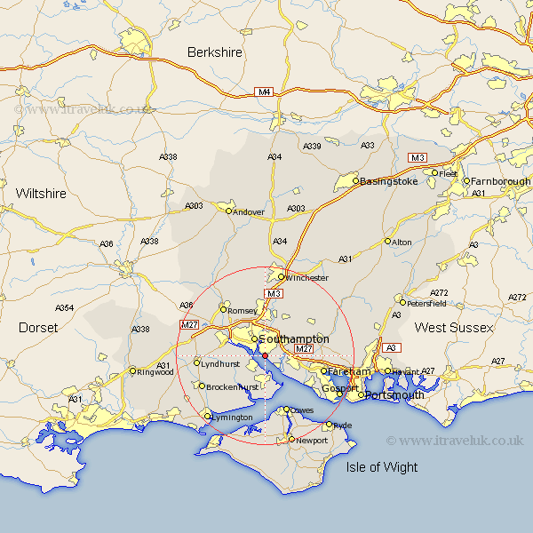
Hampshire Map Showing Location of Woolston
Easting: 444547 Northing: 109564
Latitude: 50.88 Longitude: -1.37
 = Woolston
Latitude: 50.88 Longitude: -1.37
= Woolston
This Woolston map below is supplied by Google. Use the tools in the top left corner to zoom into street level or zoom out for a road map, you may also need to zoom in to see Woolston on the map. Click and drag the map to move around. If the map fails to load try and refresh your browser or zoom in or out (+ or -).
Update - it seems Google no longer allow people to use their maps for free! This Woolston map sometimes loads and sometimes gives a error. I am working on a solution.
Closest 30 Towns or Cities to Woolston (Population over 500)
Itchen 2.19km Ashurst 2.9km Hythe 2.98km Netley 2.98km Netley Marsh 2.98km West End 4.39km Marchwood 4.68km Southampton 4.7km Dibden 5.03km Bursledon 5.03km Hample 5.1km Hamble 5.1km Locks Heath 5.13km Fawley 7.5km Botley 7.94km Chilworth 8.2km Eling 8.39km Curdridge 8.98km Curbridge 8.98km Totton 8.99km Eastleigh 9.35km Bewley 9.44km Beaulieu 9.44km Bishopstoke 9.56km Durley 11.04km Waltham Chase 12.26km Bishop's Waltham 12.87km Bishops Waltham 12.87km Otterbourne 13.03km Upham 13.17km