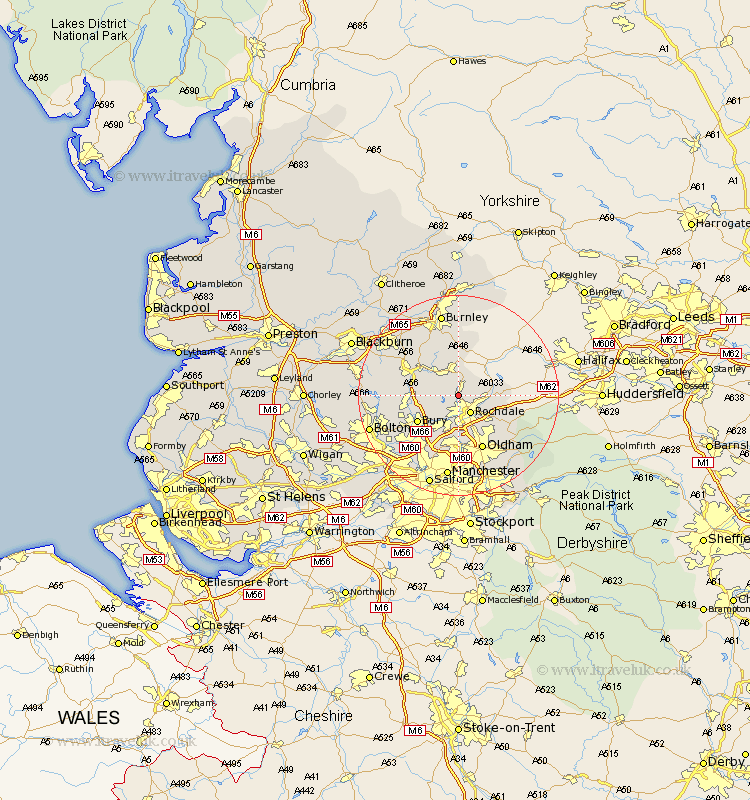
Lancashire Map Showing Location of Whitworth
Population: 5535
Area Size (ha): 128
District: Rossendale
Easting: 387883 Northing: 417096
Latitude: 53.65 Longitude: -2.18
 = Whitworth
Area Size (ha): 128
District: Rossendale
Easting: 387883 Northing: 417096
Latitude: 53.65 Longitude: -2.18
= Whitworth
This Whitworth map below is supplied by Google. Use the tools in the top left corner to zoom into street level or zoom out for a road map, you may also need to zoom in to see Whitworth on the map. Click and drag the map to move around. If the map fails to load try and refresh your browser or zoom in or out (+ or -).
Update - it seems Google no longer allow people to use their maps for free! This Whitworth map sometimes loads and sometimes gives a error. I am working on a solution.
Closest 30 Towns or Cities to Whitworth (Population over 500)
Wardle 3.29km Rochdale 4.31km Bacup 5.56km Littleborough 5.8km Heywood 7.73km Milnrow 7.82km Edenfield 7.91km Rawtenstall 8.62km Ramsbottom 8.98km Bury 9.49km Royton 10.25km Middleton 11.17km Haslingden 11.34km Tottington 11.35km Shaw 11.37km Oldham 11.96km Whitefield 13.52km Uppermill 14.34km Delph 14.38km Turton 14.4km Prestwich 14.56km Radcliffe 14.89km Failsworth 15.19km Bromley Cross 15.33km Bradshaw 15.33km Little Lever 16.43km Manchester 16.82km Accrington 16.99km Burnley 17km Oswaldtwistle 17.01km