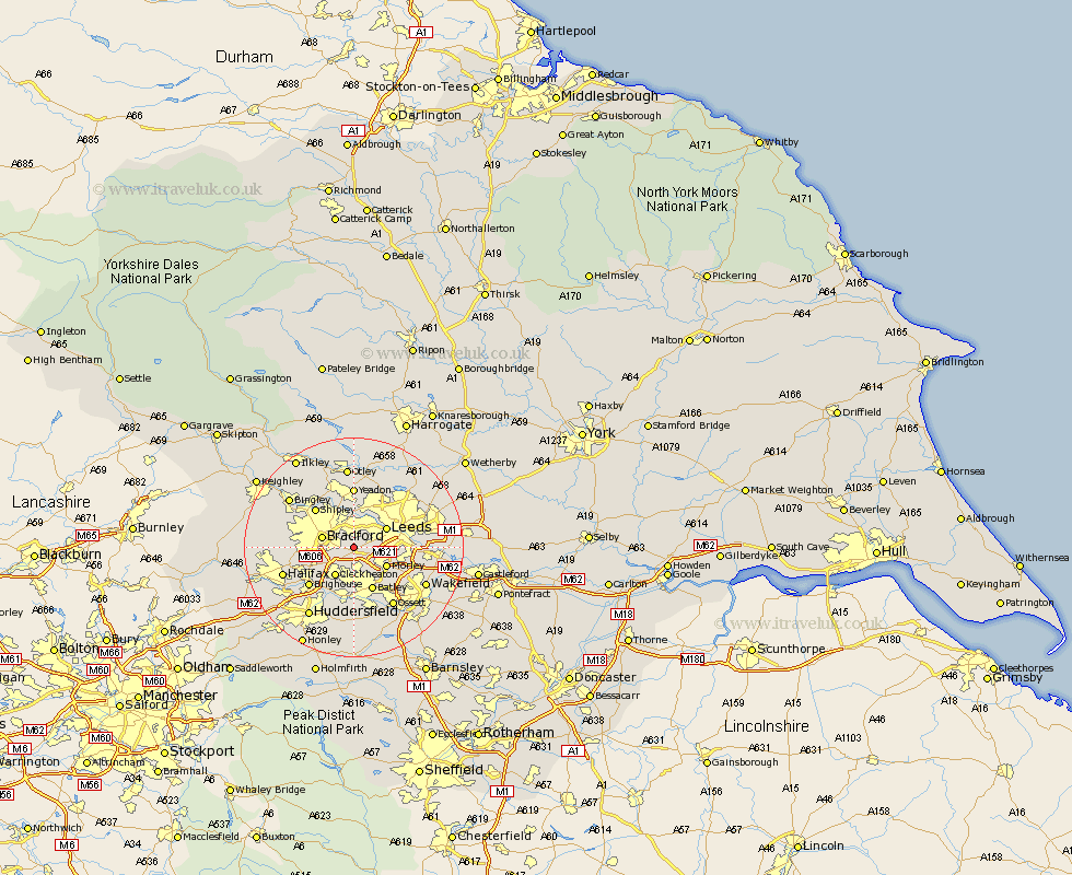
Yorkshire Map Showing Location of Tong
District: Bradford
Easting: 421969 Northing: 430114
Latitude: 53.77 Longitude: -1.67
 = Tong
Easting: 421969 Northing: 430114
Latitude: 53.77 Longitude: -1.67
= Tong
This Tong map below is supplied by Google. Use the tools in the top left corner to zoom into street level or zoom out for a road map, you may also need to zoom in to see Tong on the map. Click and drag the map to move around. If the map fails to load try and refresh your browser or zoom in or out (+ or -).
Update - it seems Google no longer allow people to use their maps for free! This Tong map sometimes loads and sometimes gives a error. I am working on a solution.
Closest 30 Towns or Cities to Tong (Population over 500)
Pudsey 1.85km Bradford 5.78km Cleckheaton 6.46km Leeds 6.61km Morley 6.62km Heckmondwike 7.42km Horsforth 7.72km Liversedge 7.73km Drewsbury 8.11km Dewsbury 8.11km Batley 8.66km Shipley 9.9km Brighouse 10.67km Yeadon 11.12km Mirfield 11.17km Baildon 11.35km Lofthouse 11.57km Guiseley 11.59km Rothwell 12.19km Ossett 12.92km Halifax 13.28km Bramhope 13.37km Horbury 13.51km Menston 13.68km Middletown 13.7km Middlestown 13.7km Wakefield 14.16km Stanley 14.16km Wilsden 14.27km Bingley 14.34km