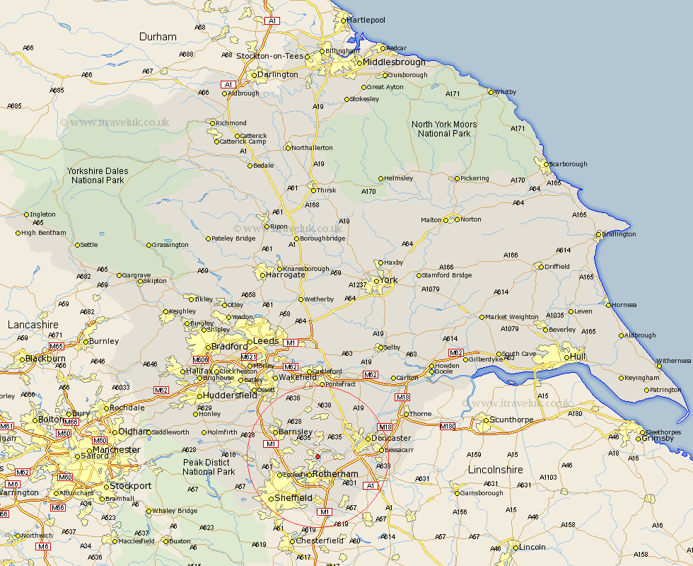
Yorkshire Map Showing Location of Swinton
Population: 15612
Area Size (ha): 417
District: Rotherham
Easting: 445340 Northing: 398754
Latitude: 53.48 Longitude: -1.32
 = Swinton
Area Size (ha): 417
District: Rotherham
Easting: 445340 Northing: 398754
Latitude: 53.48 Longitude: -1.32
= Swinton
This Swinton map below is supplied by Google. Use the tools in the top left corner to zoom into street level or zoom out for a road map, you may also need to zoom in to see Swinton on the map. Click and drag the map to move around. If the map fails to load try and refresh your browser or zoom in or out (+ or -).
Update - it seems Google no longer allow people to use their maps for free! This Swinton map sometimes loads and sometimes gives a error. I am working on a solution.
Closest 30 Towns or Cities to Swinton (Population over 500)
Wath-on-Dearne 2.88km Wath 2.88km Wath on Dearne 2.88km Wath upon Dearne 2.88km Mexborough 3.31km Rawmarsh 3.86km Thrybergh 3.86km Dearne 5.67km Rotherham 5.98km Rotherdam 5.98km Wombwell 6.64km Wentworth 6.87km Conisborough 6.87km Conisbrough 6.87km Darsfield 7.09km Darfield 7.09km Wickersley 7.73km Houghton 7.74km Great Houghton 7.74km Sprotbrough 7.94km Sprotboro 7.94km Bramley 8.11km Brodsworth 8.12km Little Houghton 8.12km Hoyland 9.01km Hoyland Nether 9.01km Warmsworth 9.01km Whiston 9.33km Braithwell 9.52km Tankersley 9.93km