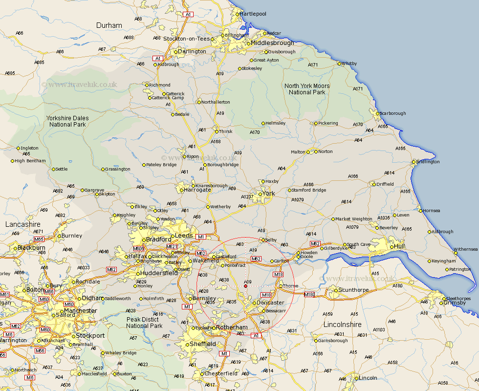
Yorkshire Map Showing Location of Sutton
Population: 1406
District: Doncaster
Easting: 455140 Northing: 411841
Latitude: 53.6 Longitude: -1.17
 = Sutton
District: Doncaster
Easting: 455140 Northing: 411841
Latitude: 53.6 Longitude: -1.17
= Sutton
This Sutton map below is supplied by Google. Use the tools in the top left corner to zoom into street level or zoom out for a road map, you may also need to zoom in to see Sutton on the map. Click and drag the map to move around. If the map fails to load try and refresh your browser or zoom in or out (+ or -).
Update - it seems Google no longer allow people to use their maps for free! This Sutton map sometimes loads and sometimes gives a error. I am working on a solution.
Closest 30 Towns or Cities to Sutton (Population over 500)
Campsall 2.16km Askern 2.88km Carcroft 3.86km Adwick le Street 3.86km Norton 3.86km North Elmsall 5.8km Bentley 7.49km Barnby Don 7.57km Barnby Dun 7.57km Kirk Sandall 7.82km Upton 7.92km South Elmsall 7.92km Doncaster 8.12km South Kirkby 8.32km Brodsworth 8.63km Stainforth 8.8km Badsworth 8.99km Moorthorpe 8.99km Darrington 9.23km Whitley 9.33km Fishlake 9.9km Pollington 9.92km Armthorpe 10.69km Warmsworth 11.17km Sprotboro 11.34km Sprotbrough 11.34km Fleckney 11.51km Dearne 11.51km Knottingly 11.96km Knottingley 11.96km