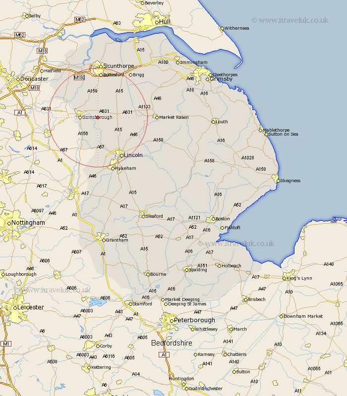
Lincolnshire Map Showing Location of Sturgate
District: West Lindsey
Easting: 488675 Northing: 388241
Latitude: 53.38 Longitude: -0.67
 = Sturgate
Easting: 488675 Northing: 388241
Latitude: 53.38 Longitude: -0.67
= Sturgate
This Sturgate map below is supplied by Google. Use the tools in the top left corner to zoom into street level or zoom out for a road map, you may also need to zoom in to see Sturgate on the map. Click and drag the map to move around. If the map fails to load try and refresh your browser or zoom in or out (+ or -).
Update - it seems Google no longer allow people to use their maps for free! This Sturgate map sometimes loads and sometimes gives a error. I am working on a solution.
Closest 30 Towns or Cities to Sturgate (Population over 500)
Willingham 3.86km Lea 5.83km Blyton 6.47km Gainsborough 6.63km Gainesborough 6.63km Ingham 7.84km Morton 7.96km Marton 8.63km Scotton 9.34km Kirton 10.27km Kirton in Lindsey 10.27km Scotter 11.12km Scrampton 11.4km Scampton 11.4km Torksey 11.97km Waddingham 12.4km Owston Ferry 12.94km Owston 12.94km Saxilby 13.01km Welton 15.3km Haxey 15.67km Hibaldstow 15.7km Dunholm 16.19km Dunholme 16.19km Messingham 16.72km Skellingthorpe 17.01km Nettleham 17.79km Epworth 17.85km South Kelsey 18.03km Scothern 18.18km