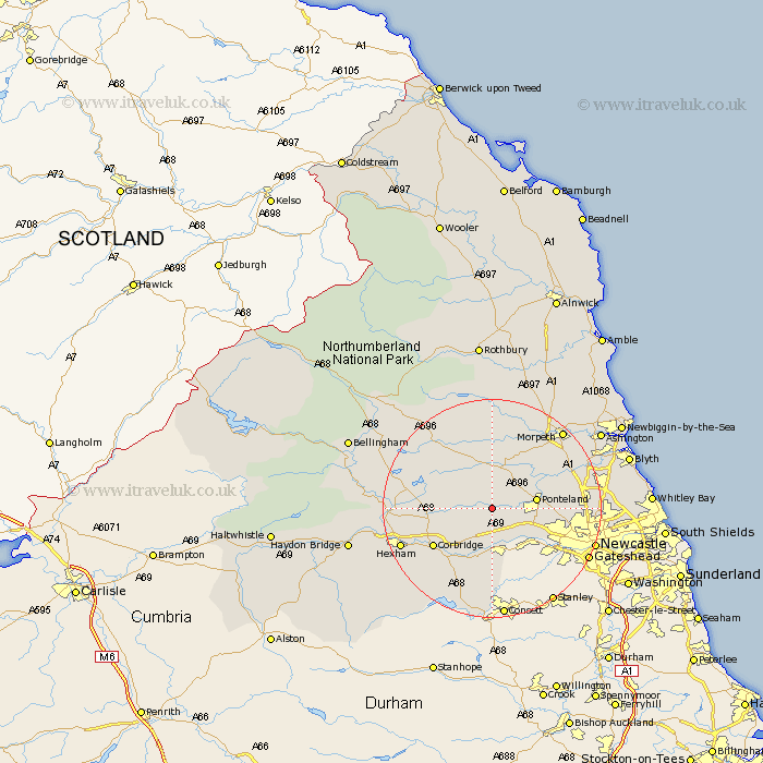
Northumberland Map Showing Location of Stamfordham
Population: 1047
District: Castle Morpeth
Easting: 408521 Northing: 570991
Latitude: 55.03 Longitude: -1.87
 = Stamfordham
District: Castle Morpeth
Easting: 408521 Northing: 570991
Latitude: 55.03 Longitude: -1.87
= Stamfordham
This Stamfordham map below is supplied by Google. Use the tools in the top left corner to zoom into street level or zoom out for a road map, you may also need to zoom in to see Stamfordham on the map. Click and drag the map to move around. If the map fails to load try and refresh your browser or zoom in or out (+ or -).
Update - it seems Google no longer allow people to use their maps for free! This Stamfordham map sometimes loads and sometimes gives a error. I am working on a solution.
Closest 30 Towns or Cities to Stamfordham (Population over 500)
Ovingham 7.41km Wylam 7.48km Ponteland 7.66km Prudhoe 9.32km Newburn 11.28km Stocksfield 11.57km Dinnington 11.83km Woolsington 11.83km Corbridge 12.1km Ridingmill 12.82km Riding 12.82km Sandhoe 12.95km Stannington 14.74km Challerton 14.87km Chollerton 14.87km Acomb 15.88km Gosforth 16.36km Hexham 16.62km Humshaugh 16.99km Warden 17.89km Dudley 18.13km Slaley 18.25km Cramlington 18.43km Newcastle-on-Tyne 18.55km Newcastle 18.55km Newcastle on Tyne 18.55km Newcastle upon Tyne 18.55km Morpeth 18.87km Hepscott 18.93km Killingworth 19.12km